Crooked River Day Hike -- November 15, 2008
This was a fun out-and-back hike 4 miles down the Crooked River from the Edna Creek road that departs ID21 about 7 miles past Mores Creek summit,
and at the Edna Creek CG sign. The trailhead is about 4-5 miles down this road on the south side. Some of the pictures looked like it could
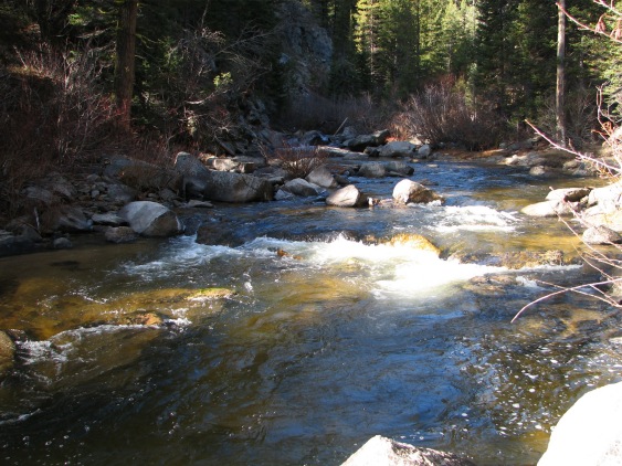
have been somewhat warm that day. NOT! It never got above freezing in the shade, and at times was a fairly brisk walk. The river crossing was a
real joy!
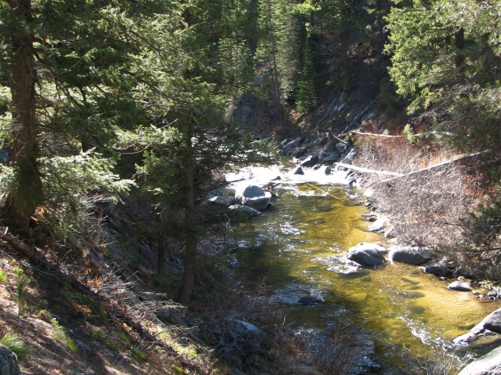
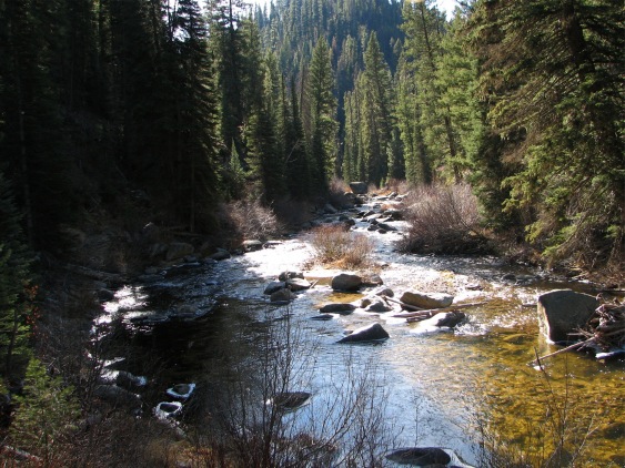
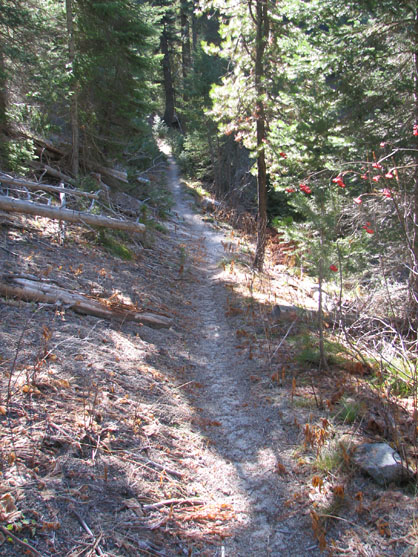
 We didn't see a lot of fauna, but the flora at this time of the year can be striking! |
 |
 |
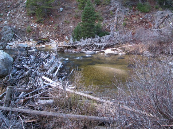
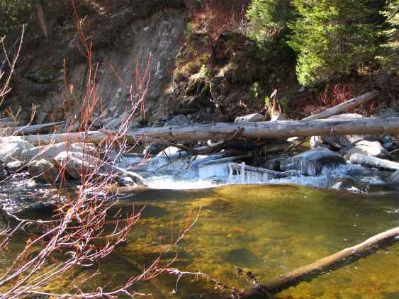 Note the icicles hanging from the driftwood here... that's a clue! |
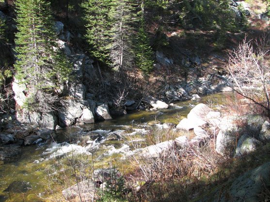
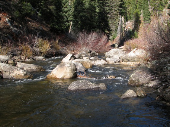
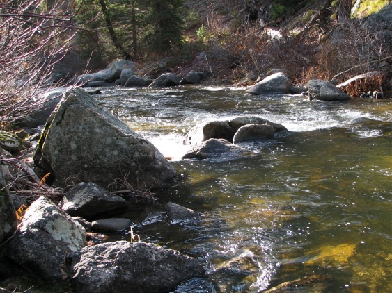
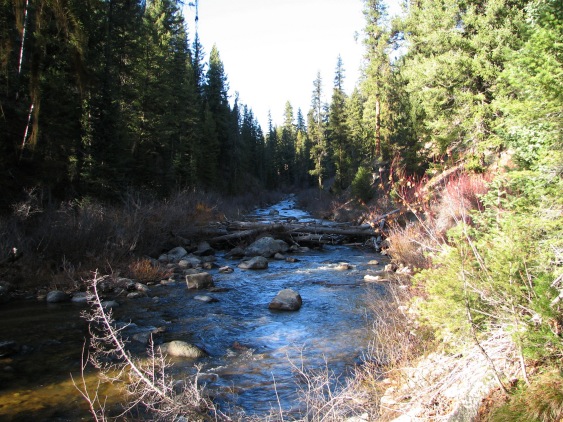
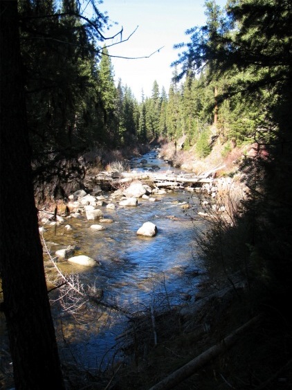
 Lots of shade, and little sun this time of the year. The sun is so low in the sky that it doesn't make much of a penetration into the canyons. |
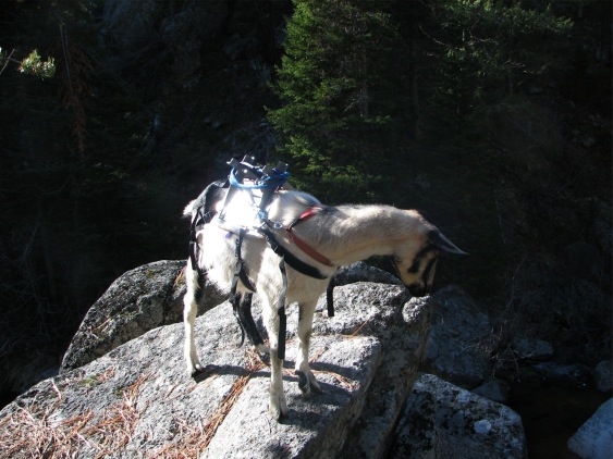
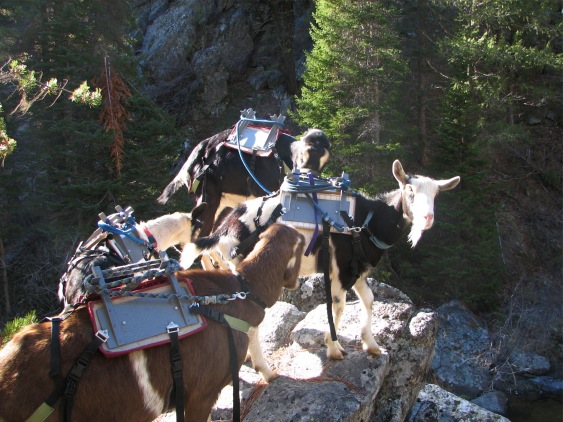 And yes, we took the animals (at least some of the 7) just to give them an outing before freezeup. |
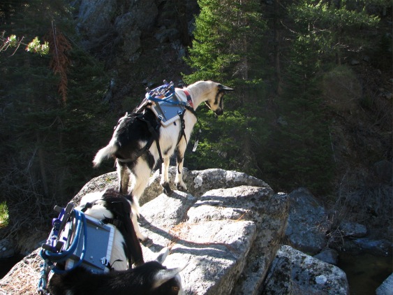
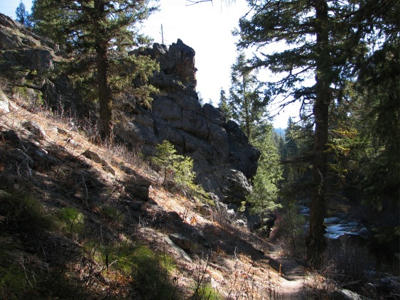
They are never content just 'looking up' at the high places |
 |
 |
 |
 |
 |
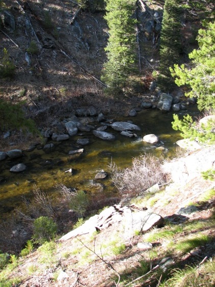
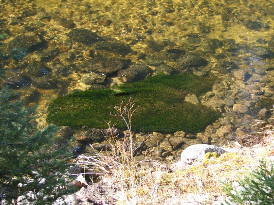 I thought this interesting... this rock was the only one that had vegetation on it, and was totally submerged. |
 |
 |
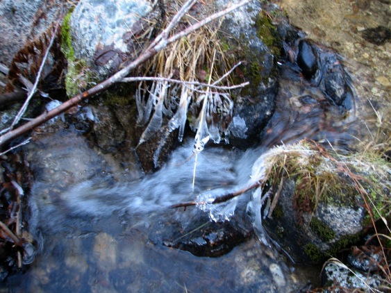
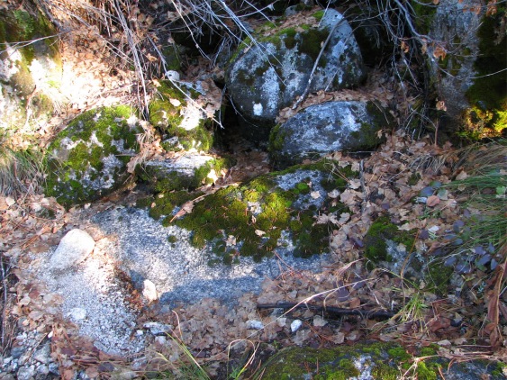 This was a small beside-the-trail spring, but the water is buried in leaves at this point. |
 |
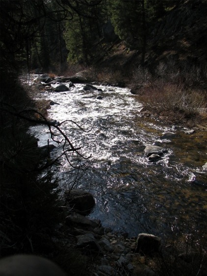
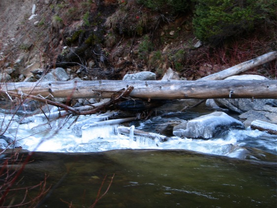 Lots of ice, not much of an attraction to swim! |
 |
 |
 |
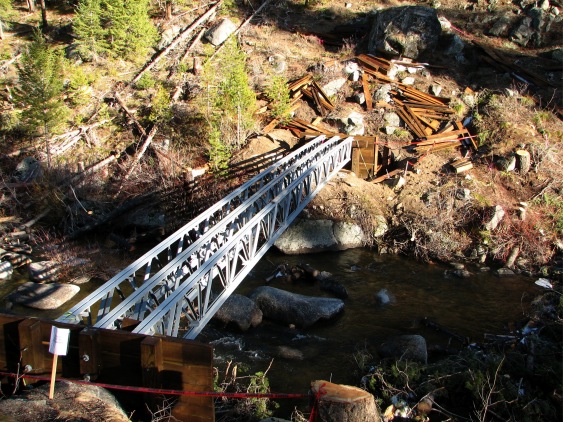 I don't know whose idea this little bit of bureaucratic nonsense was. The FS is always whining about a lack of funds, but apparently were able to squeeze enough out of the ol' budget to build this completely unnecessary bridge. On top of that, the trail, past the 4 mile point is more or less impassable due to a lack of care. Hello?? A problem with priorities here?? |
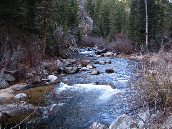
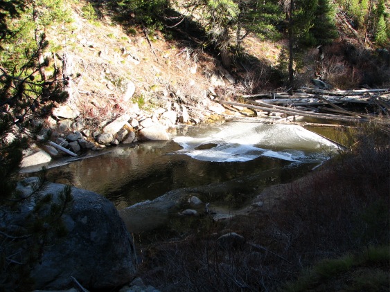 There were areas of permafrost along the trail where the sun will not be seen again until late Spring. Seems like the freezeup of this area of the river is inevitable! |
|
 |
 |
 |
 |