Bear Valley Hot Springs, Trail Maintence!
6-4-13
Downloadable Power Point Slide Show of this Hike!
The issue here, is that the only useable trail into Bear Valley Hot Springs for most of the year is the hiker's trail
which traverses the south side of the river on a steep cliff. This is due to the fact that the 'official' trail crosses (wading)
Bear Valley Creek (read: torrent!) and that is, for most of us not possible if 'continuing to live' is a consideration.
The problem here, is that the hiker's trail, dangerous from the git-go, has gotten progressively worse over the 15
or so years that I have been using it, so much so that I have continued to consider other options, of which there are
precious few.
I have considered that it might be possible to cross the mountain higher up where it wasn't so steep, but never got around
to actually 'scouting' it until my last trip. An ugly encounter between my goat packboys, and a group
with some very aggressive and out-of-control dogs, caused me to venture up the mountain simply to get away from
these 'its-our-mountain-get-the-hell-outta-here' folks. Climbing up towards more level ground, what to my wondering
eyes should appear but a quite good useable trail. Huh? A few moments of contemplation convinced me that it was the
work of the locals; deer, elk & occasional bear, and presented the possibility of a completely safe and far superior
route around the 'dicey' cliff-side route below.
Traveling it to its logical conclusion, it appears that the animals, being of far superior intelligence than their human
counterparts, climbed up the hill to where it wasn't so steep to make their trail, and it rejoins the normal trail at
each end. Where it isn't so dangerous.
This visit was to hike to the other end and insure its useability, and it definitely is! No more will I cling to the cliffside
when there is such a good trail further up!
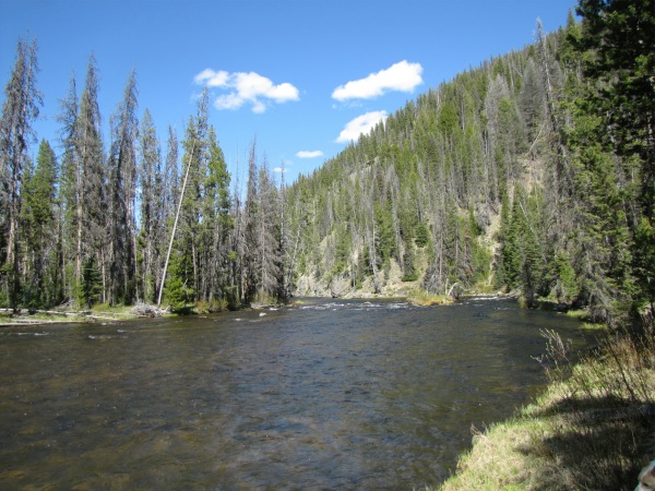
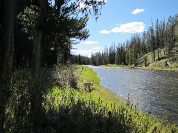
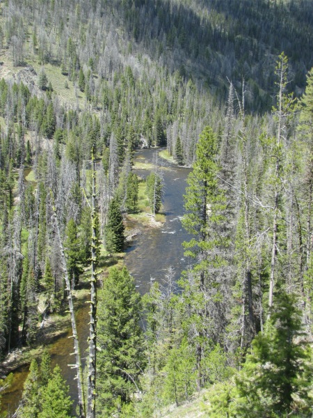 Bear Valley Creek from the trail. |
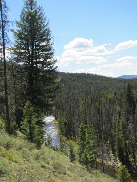 |
 Looking west! |
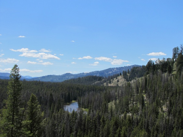
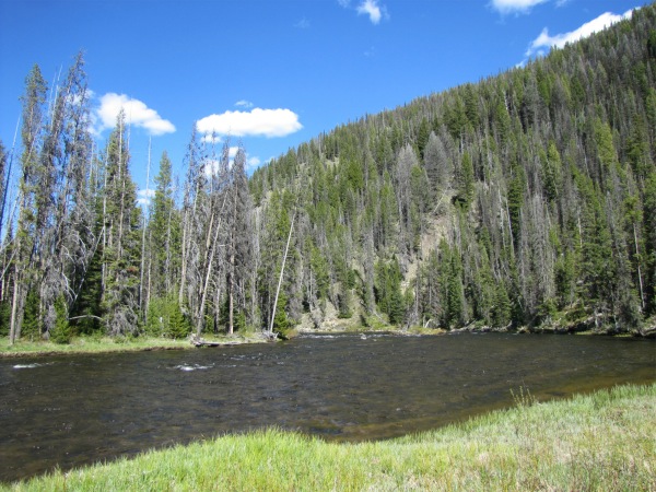
 Looking west again, but where the trail transitions down to the swamp on to the CG |
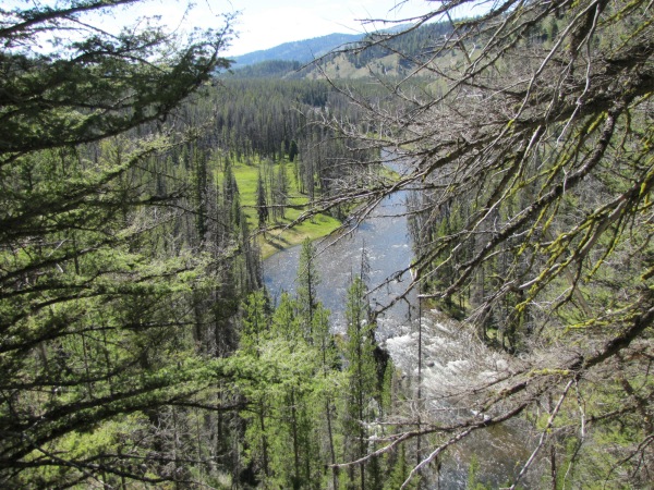
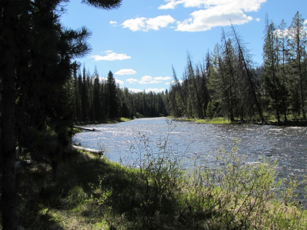
 Looking downstream, east... note the high stream flows. |
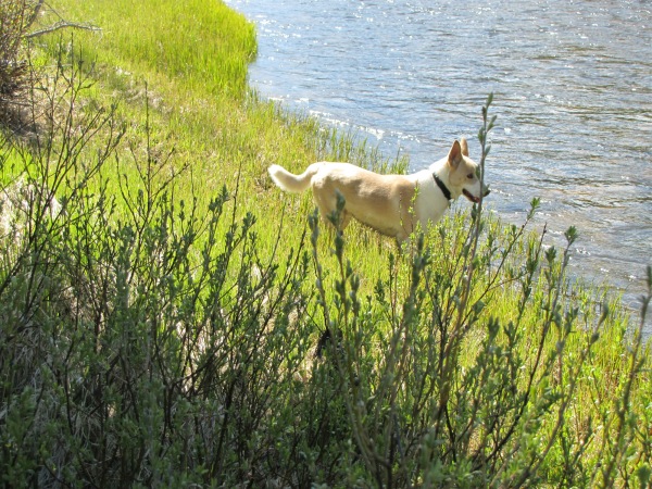
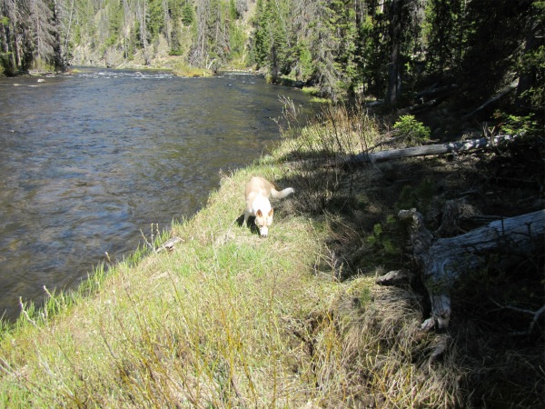 Maxie the bloodhound... there must be a 'critter' hiding in here somewhere! |
 I damn near got him! |
 |
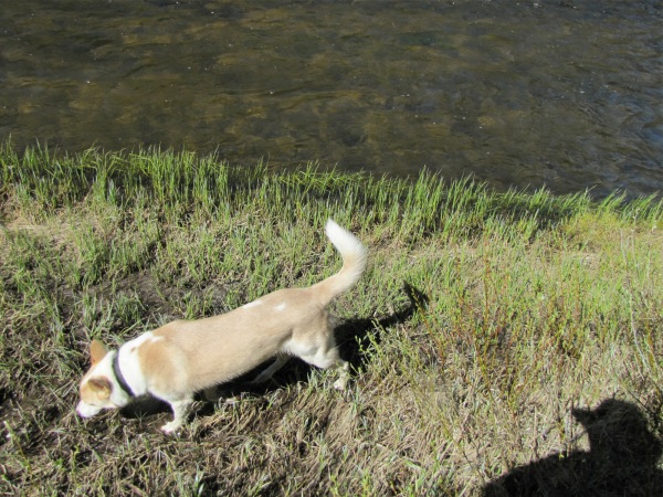
 On up the trail, Maxie still searching... |
 |
 Approaching the CG |