Day 4!
Hiking plan for today takes us up a very long and about 1250' of altitude grind, over to Glacier lake, lunch, then down to Frazier Lakes
then back up a short climb to Little Frazier Lake for a RON
 Everybody is excited to see the sun! |
 Mocha soaking up sun instead of rain! Mocha soaking up sun instead of rain! |
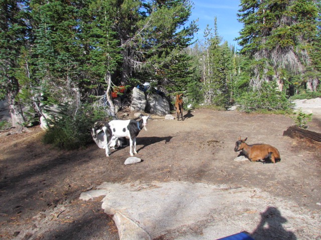
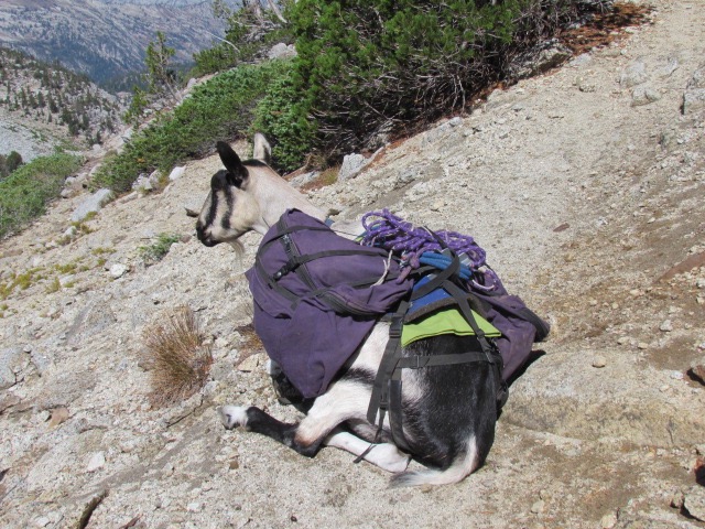
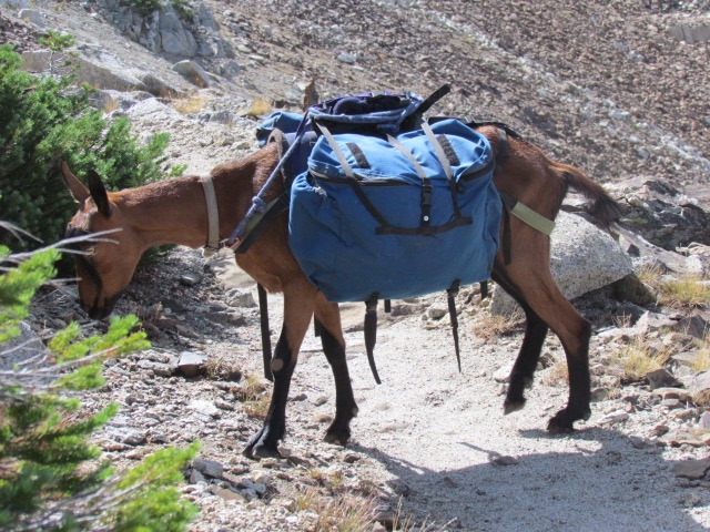
 Ezra & Freckles... "We spending the day here, right?" |
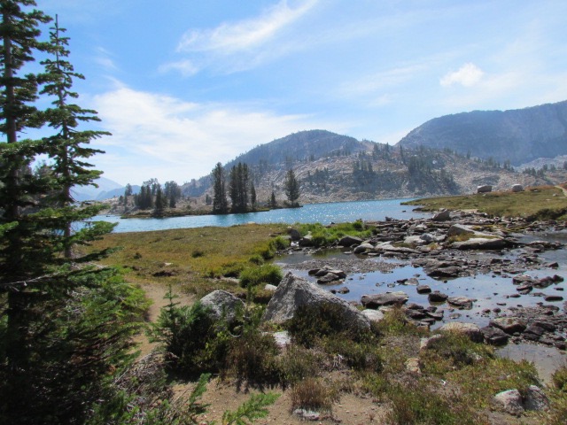
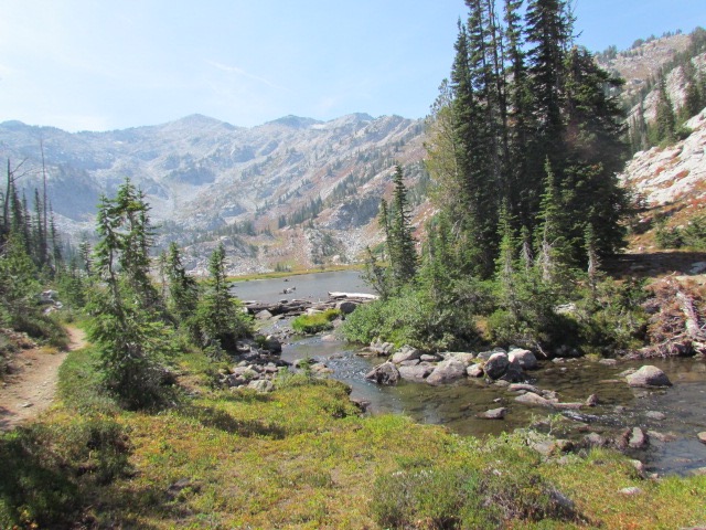
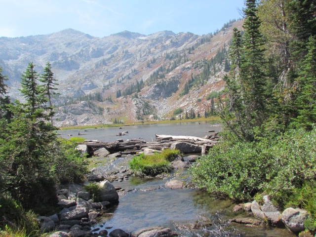
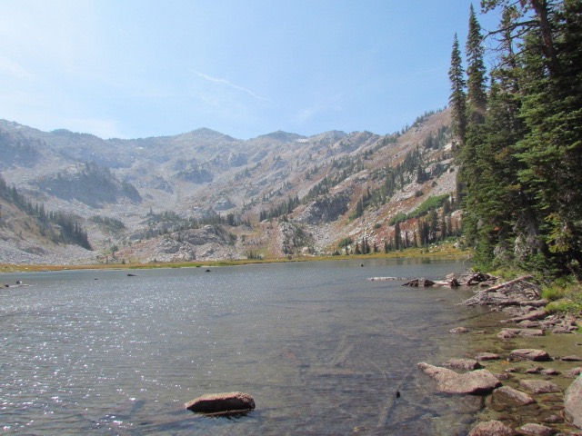
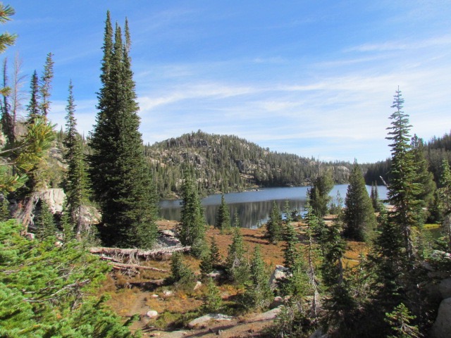 Moccasin Lake |
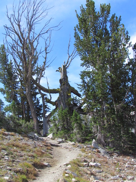 A weathered old boy that gave it up a long time back |
 |
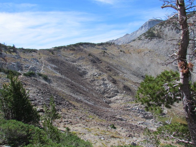
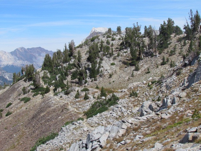
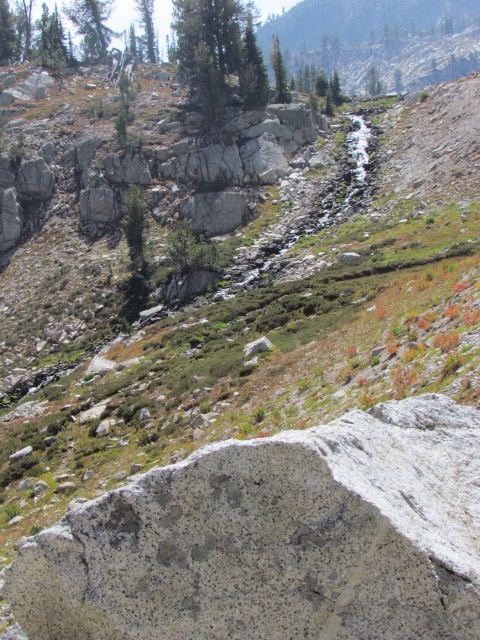
 A drainage that leads up to Glacier Pass in the Distance |
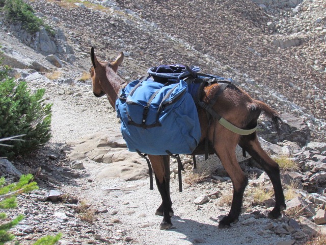
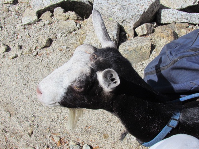
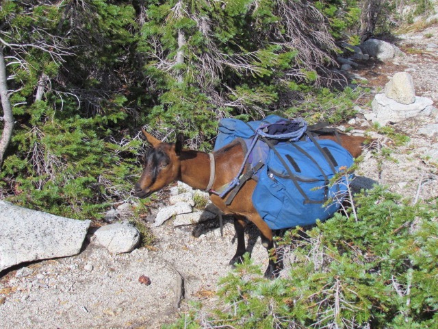 Coffee Bean, "When do we get to the top??" |
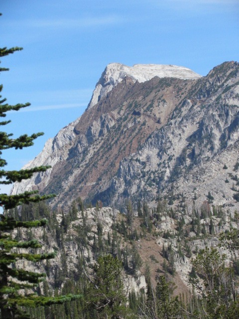 Pretty sure that this is the one called the Matterhorn |
 The top of the pass 'beckons' as they say |
|
 |
 |
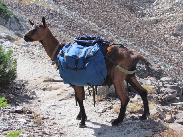 |
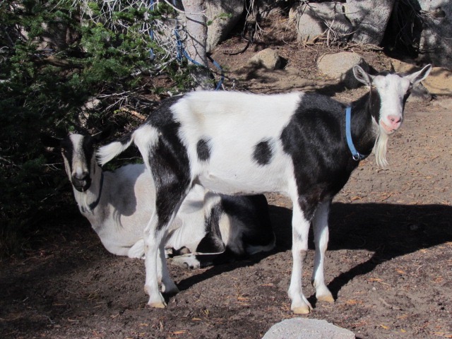
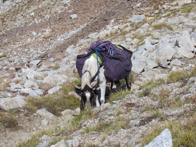
 Coffee Bean seems to have gotten top billing in this selection of photos |
 |
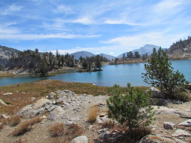
 A last look at where we have been before going down to Glacier Lake |
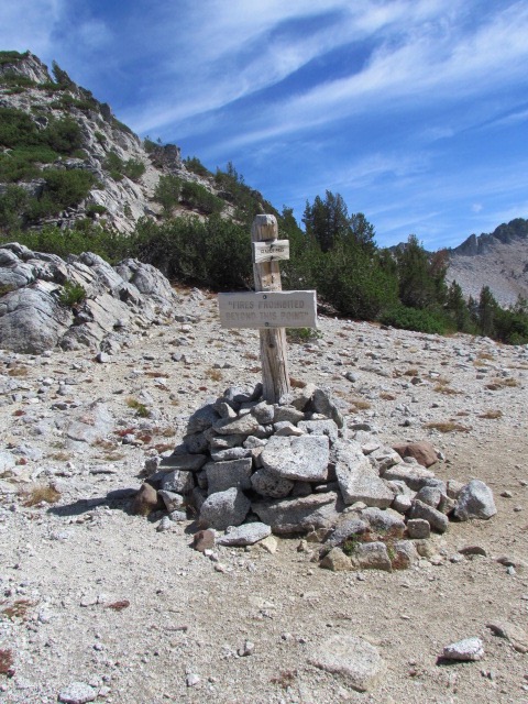 Glacier Pass sign. A bit redundant since you are at the top of the world at this point |
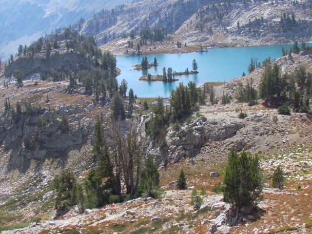 |
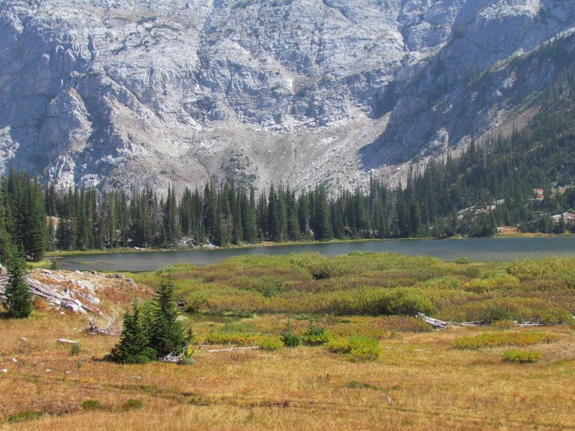
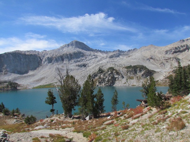 Glacier has a unique coloration for this area, very distinct aquamarine, and as a result of the minerals that make it so, is quite turbid |
 |
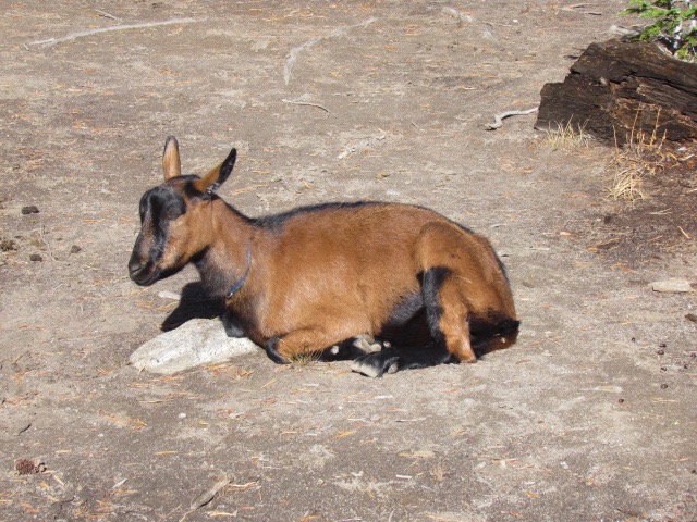
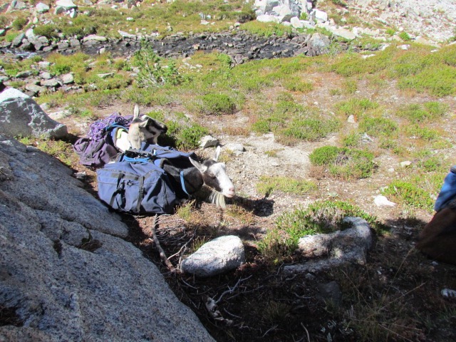 The lunchroom... at least for me. The goats chose rest over munching |
 A last look at Glacier |
 |
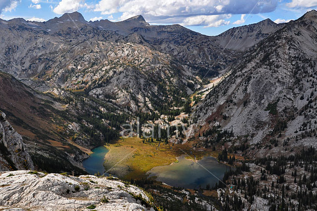
 Frazier Lakes. As you can see from the picture on the left, the smoke is beginning to filter back in. In reality, Frazier Lakes consists of two separate bodies of water. The lake you see, plus another to the right of this picture. The one to the right looks much deeper and more scenic, but because the entire area was marshy, the only way to get to it was to hike all the way around this lake and over to the other. |
 This photo shows the other Frazier Lake up against the hills to the left. The area between the lakes is excessively marshy except for that area right up next to the left-hand lake. As you also can see, this is someone elses photo and he or she is scared to death that someone might take it and use it... as we have here. |
 |
 Little Frazier Lake. Not as scenic as it looks as it is largely filled in and very shallow. In the morning, we are going to climb up those hills you see on the right-hand side of this picture |
 |
 The left-hand side of the lake. There actually is a barely visible trail that goes up the side of the hill to a pass on top of the ridge in the center of the picture |