Hiking the Rapid River Drainage!
An early-season adventure near Riggins, Idaho. This was a trip to introduce a new packer, Marc Warnke, to a real-life trail experience. It was also interesting from
the standpoint of weather observation. Because in spite of the fact that we knew that the weather prognosticators had predicted rain, sunset was spectacular,
much of the night was severe clear, and only towards the early light did the pitter-patter of little, and some not-so-little raindrops begin to descend on the
'living space'. Fortunately, it only rained for a period, and then the clearing started and breakfast could be had sans precipitation.
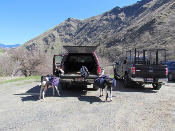
Just about ready to leave the trailhead
|
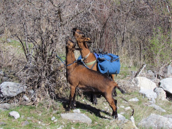
Mocha & Coffee Bean sampling the local fare. Didn't look that great to me, but they seem to have decided otherwise!? |
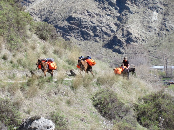
All of his boys loaded up and ready to go
|
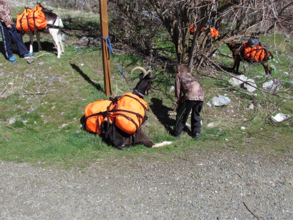
Otis. Otis turned out to be not overly enthused by today's trip. Could have been a number of factors, but it was uncomfortably hot (yes, even though it was the 27th of March--also, this area is one of the lowest points in Idaho). He could have been also suffering the effects of a multi-hour trip in the back of the pickup. |
|
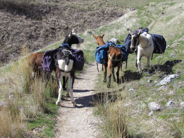
Its this way... NO its this way... no... |
|
More indecision about which is the right way to go. What is really wrong with this picture, is the fact that these guys are supposed to be BEHIND me! However, it seems like training has to begin anew every season, and this is the season's first hike, so... |
|
|
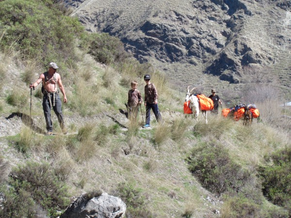
Marc, his boys, his goat 'boys', and wife bringing up the rear |
|
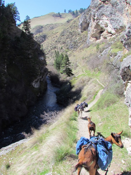
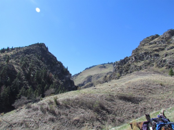
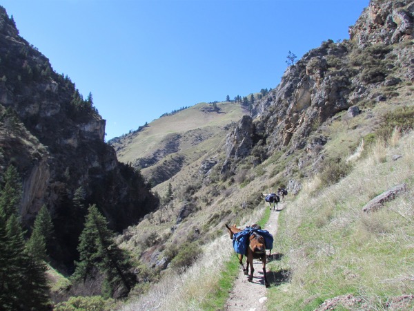
And on we go into the 'interior' of what, if pursued to its logical conclusion, is the Seven Devils Wilderness of Idaho
|
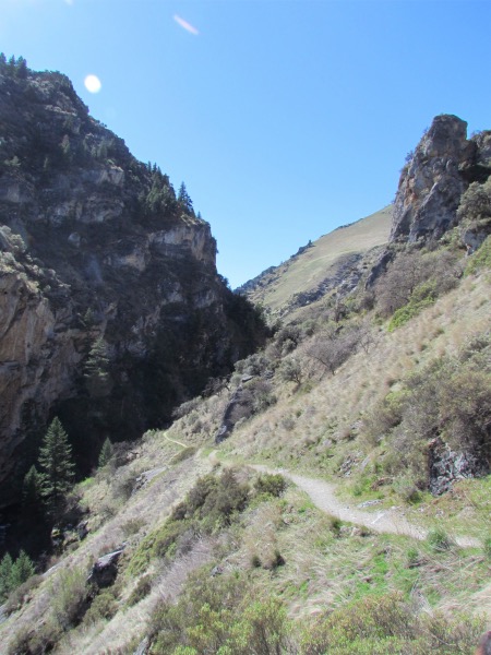
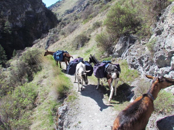
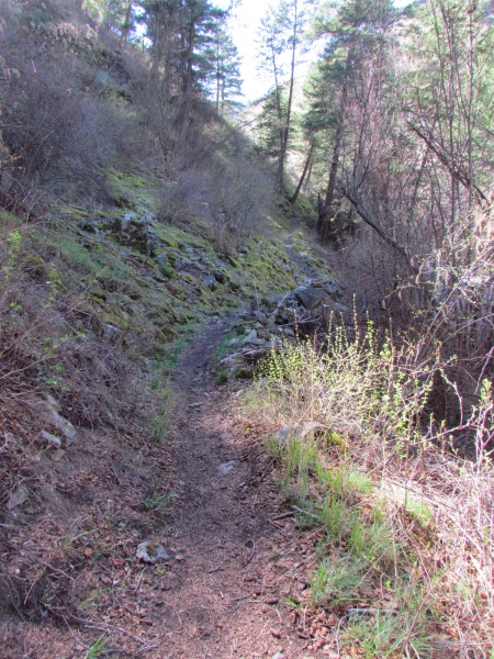
 Further along we finally get down to river level. What interested me was that there were quite a number of 'ups' and 'downs' along this route. Which gave me pause, because aren't rivers just supposed to simply go up... or down? But we were up and down like a yo-yo. Just once I'd like to see that river that goes up and down. :-)
 |
Looking back towards the trailhead... basically north |
|
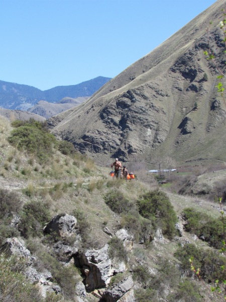
Trail partners hidden in the bushes to the left |
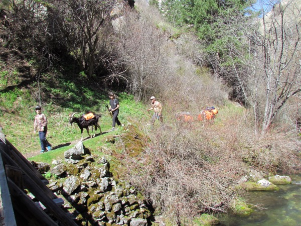
More visibe here, eh? |
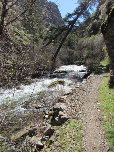
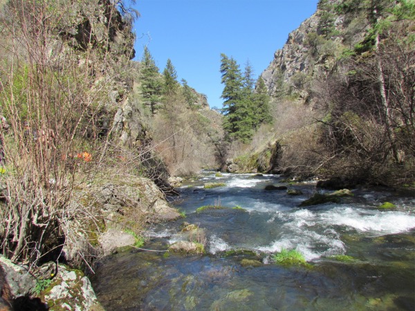
At this point, we bridge across to the east side of the river. As the trail continues, it eventually 'bridges' over to the west side again. |
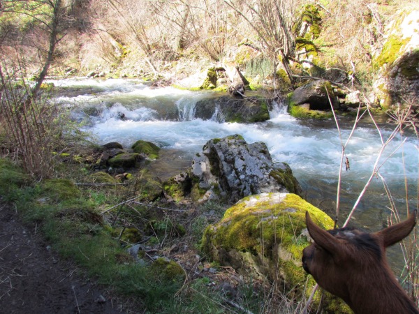
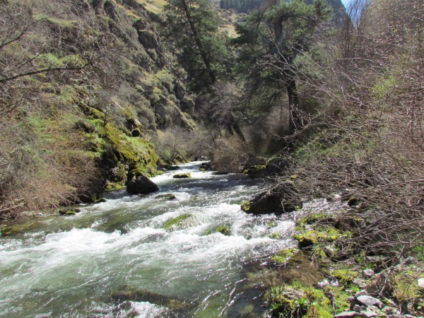
Coffee Bean is thinking that stretch of this river is a little rough for wading. Maybe it is a little better further up... or not. |
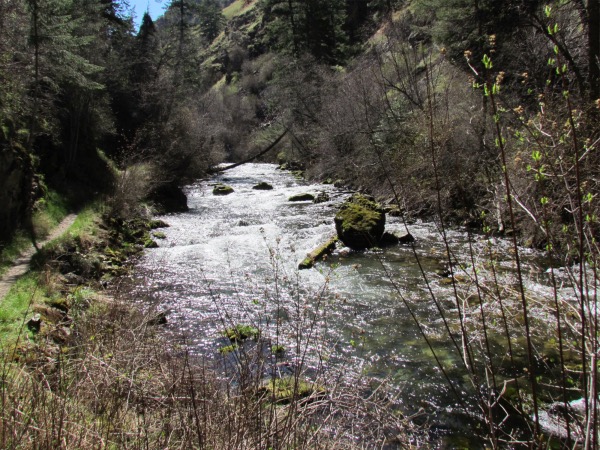
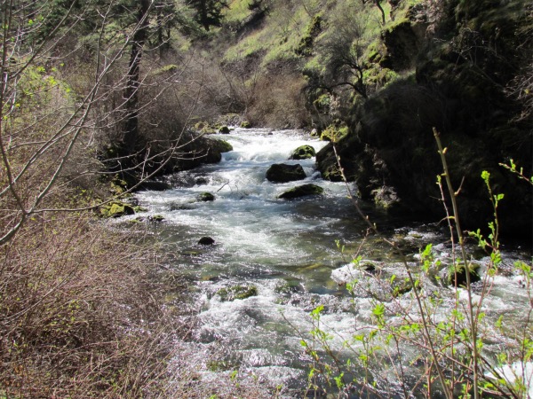
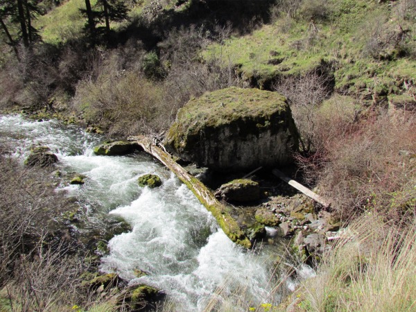
Yeah, lots of pictures of the river, but it was an attractive bit of watershed. |
|
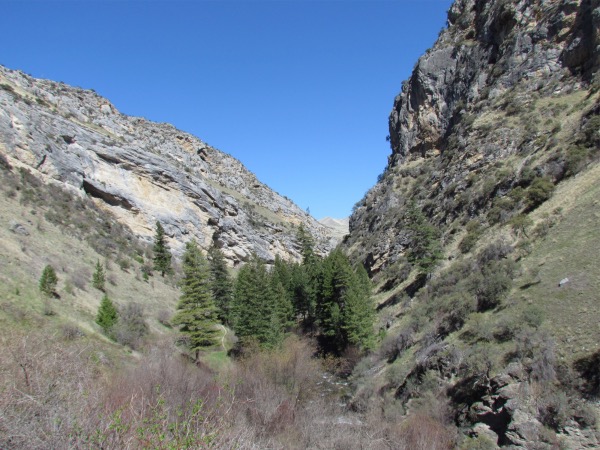
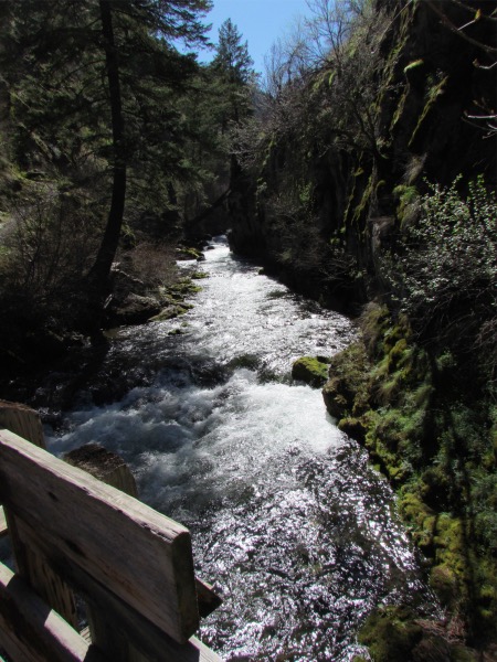
This drainage was notable for the amount of moss and much more of a wet-climate feel. It is steep enough that sunlight is restricted, and so that I had a bit of trouble getting my SPOT (Best I could come up with for this device is 'Satellite Personal Tracking. Described by themselves as a 'Satelllite Safety Tracking System'. Doesn't really go with their acronym. So who knows?) messages out. Satellite access was minimal. But the SPOT performed admirably once you got its location in a 'happy' spot (Pun not intended). |
On up to one of the many 'ups' on this trail |