Sleeping Deer Day 1!
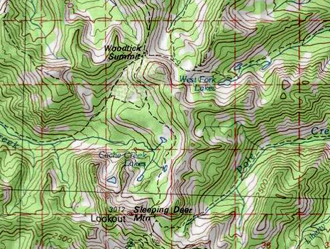
Sleeping Deer area overall
 |
 |
 This is a view of the two Rock Lakes just prior to the end of the road and the TH. TH is on the far left of this picture, after the road crosses the peak in the center of the picture. |
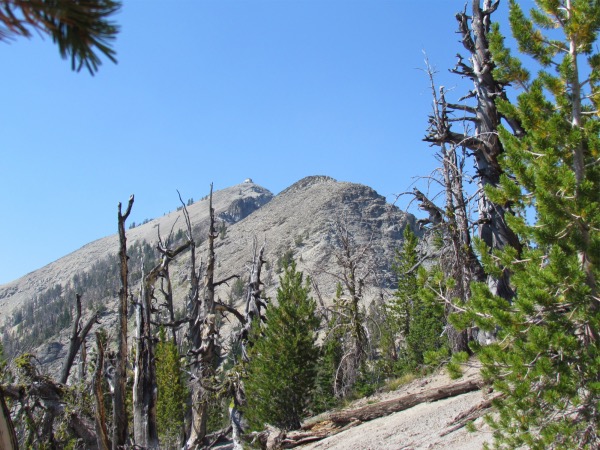
 On the way in, shortly after leaving the TH, the Sleeping Deer Lookout comes into view. |
|---|---|
 |
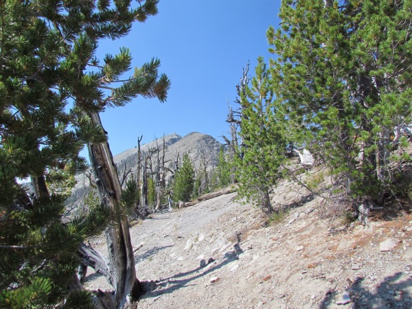
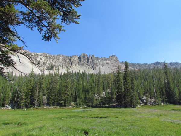
 After crossing the top of the ridge below the lookout, you take a number of steep and gravelly switchbacks, then cross the face of the talus slope in the direct center of the picture. Trail is barely visible, direct center of picture. |
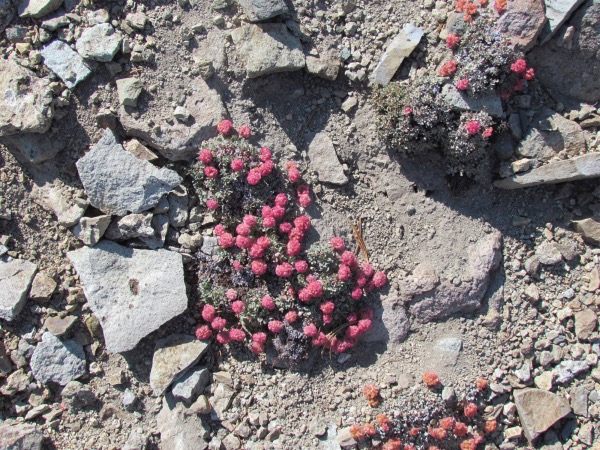 Always time for a flower picture. This one scratching out a living under dire circumstances. |
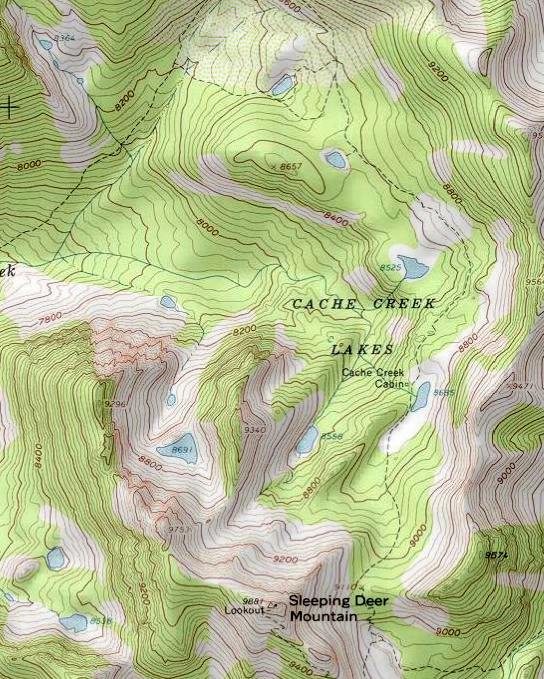
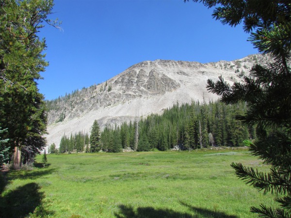 The meadow that was at one time a lake, part of the first Cache Creek Lake you come to on the trail. |
 The hills were striking. |
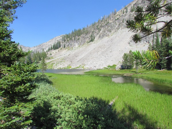 The lake emerges from the meadow. As one might expect, the meadow still has plenty of sinkholes. |
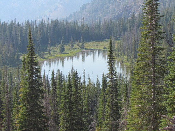
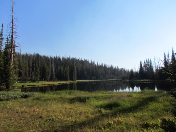
 This lake was pretty, but surrounded by swampgrass. One had to access a spring on the east side of the lake for drinking water. Getting near the lake would take hip waders. |
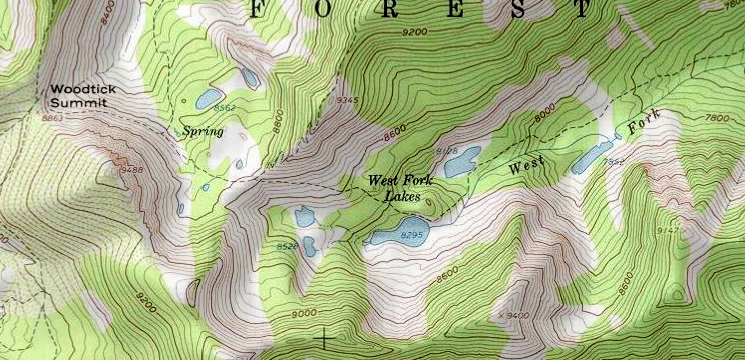
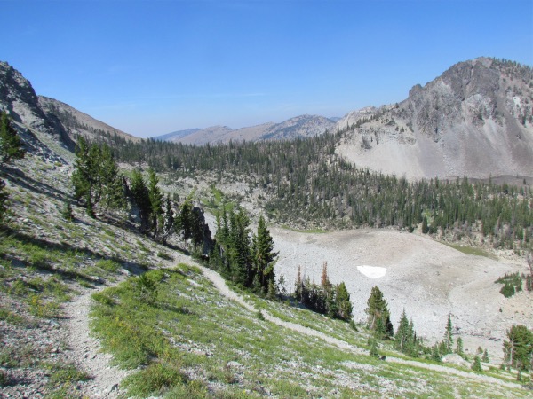
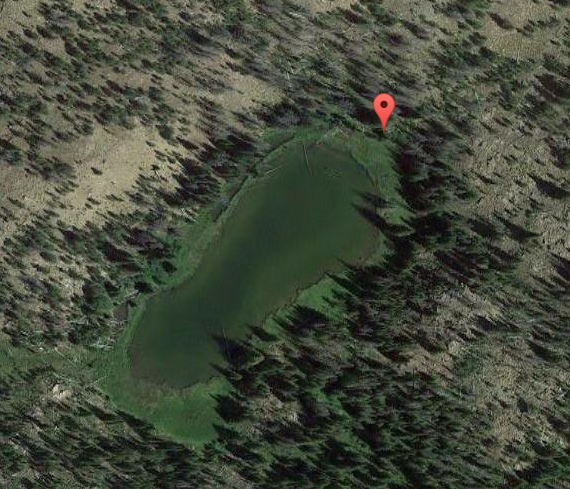
 We passed up the first lake thinking that the 2nd lake, the one marked 8525' would be better. It wasn't. So now we were left with either backtracking, or camping at one of the pothole lakes further up the trail. We ended up camping at the last one along the trail before starting up to Woodtick Summit. It shows a trail going to this lake. It didn't. |
 |
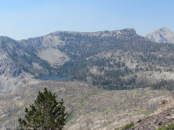
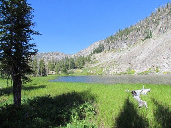
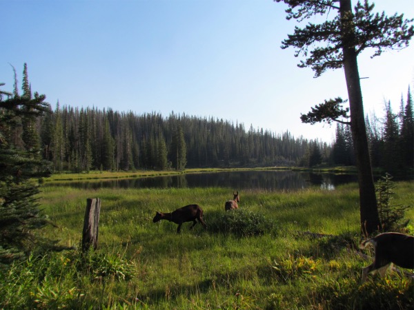 The boys liked this lake just fine... lots of veggies. |
 Some of Matt's boys enjoying the banquet. |
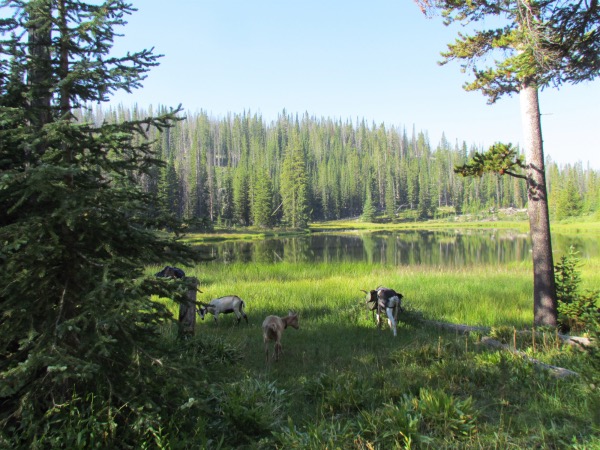
 Near sunset, and time for the predators to begin the prowl. |