Warrior Lakes!
A not-so-grand hike in Idaho!
This recent trip is typified by the saying, "His reach exceeded his grasp."
A good friend noted at one point, that I don't know when to quit. Well, on this one, I 'QUIT' about 13 times (maybe it was 130), I just couldn't seem to communicate that to my feet.
Somehow they just seemed to keep plugging ahead. I kept telling myself, as the trail kept climbing like we were on Everest, "I CAN'T DO THIS ANYMORE!" But as I said,
the body wasn't in direct communication with the brain. A not unusual circumstance.
This one was (I would say brutal, but that unquestionably doesn't cover it) ?? The footing was crap, the altitude to be climbed was 3500', water was scarce.
As might be obvious, since I am back on Thursday, I didn't make it. A good part of that is the fact that I knew I needed to be back for a HOA meeting on Friday evening.
I did finally pack it in, later in the afternoon, at Swanholm Peak lookout. I finally decided to quit there because I couldn't find the trail after I got to the road to the lookout
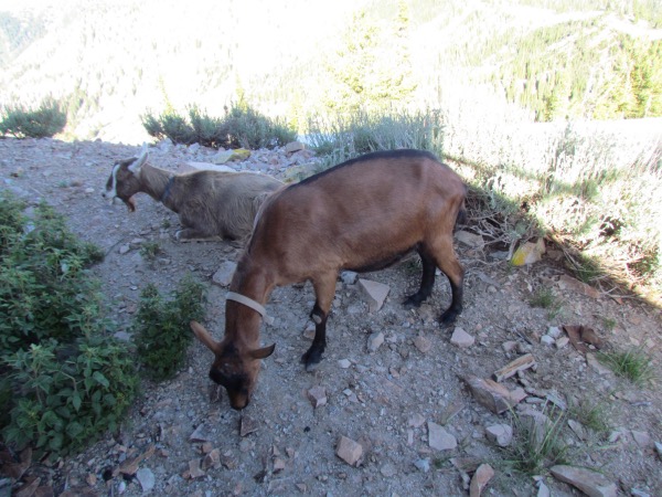
(I did find it the next day on my way out, but by then it was too late). So I spent the night on the platform of the lookout (long closed, apparently). It was a fitful night. The goats
were restless, Bogdan got his feet tangled in the highline once, which I had to go down and fix, and at 9000', the sun goes down late, and returns quickly. Now I know how
the folks in Alaska feel. But that wasn't all bad. I got going in the morning while it was still cool, and a lot of my 'descending' was done in the shade. That is definitely GOOD!
I might go there again... maybe... in another life!
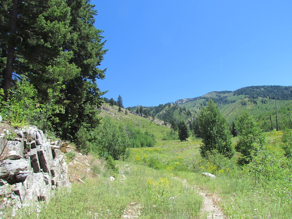
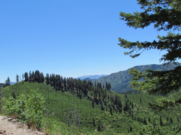
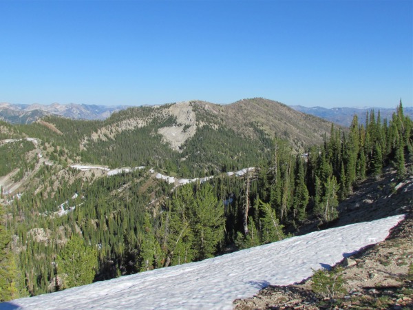
 Taken early-on, when the spirits were high, and the information was lacking |
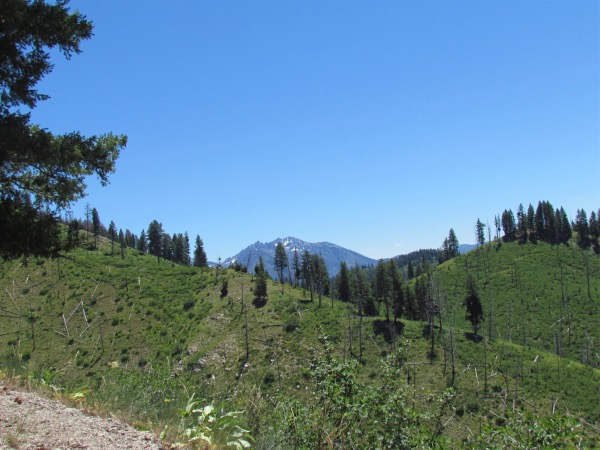
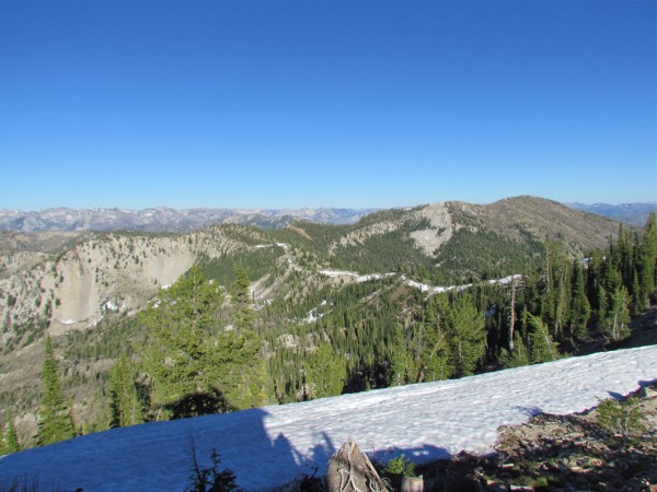
 On the way there, still climbing... |
 |
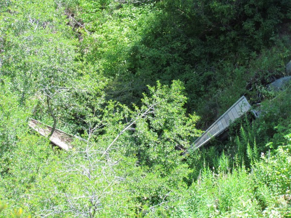 As you can see, the bridge over the creek is far less than 'serviceable'. The signage at the trailhead says that this trail can be used by motorcycles. Right. I'd like to see how one would be a m-cycle across this drainage. It was difficult enough to do on foot. |
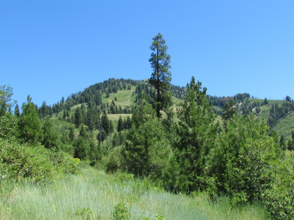
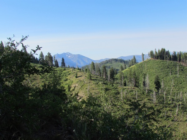
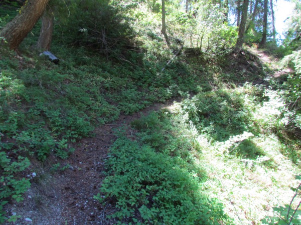 Well, yes, when all you do is climb, why wouldn't you take pictures of the trail?? |
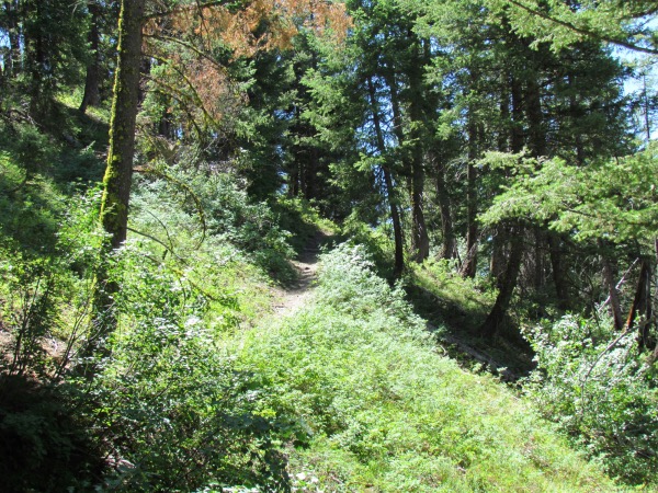 |
 Well, let's see, where are we now? Halfway there? Only in my dreams. |
 |
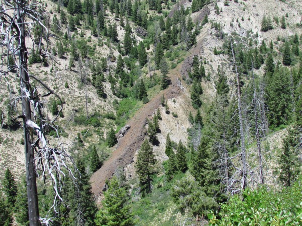 An interesting, but not unusual, lava outbreak during Idaho's firey past |
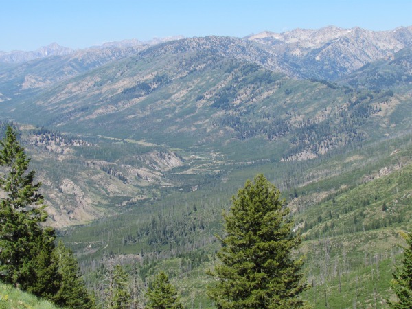 The north fork of the Boise River. It penetrates far into the Sawtooths. |
|
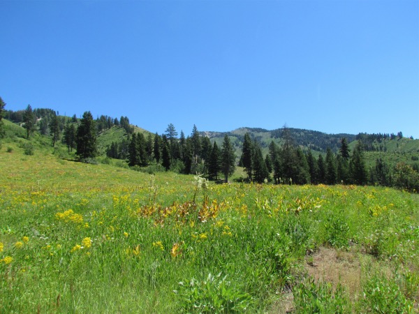
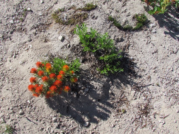
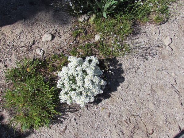
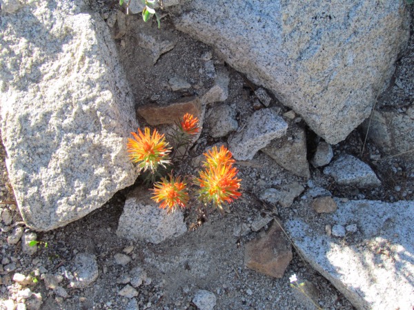
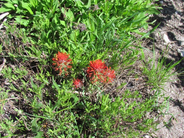 Flowers. Yes, you're gonna have to be satisfied with flowers. When I get sufficiently tired, no pictures, just plod. |
 |
 |
 |
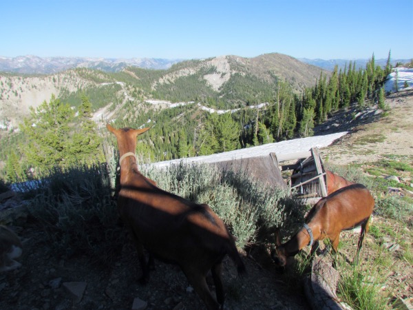 The goats are poking around in the ruins of the lookout that was. |
 |
 |
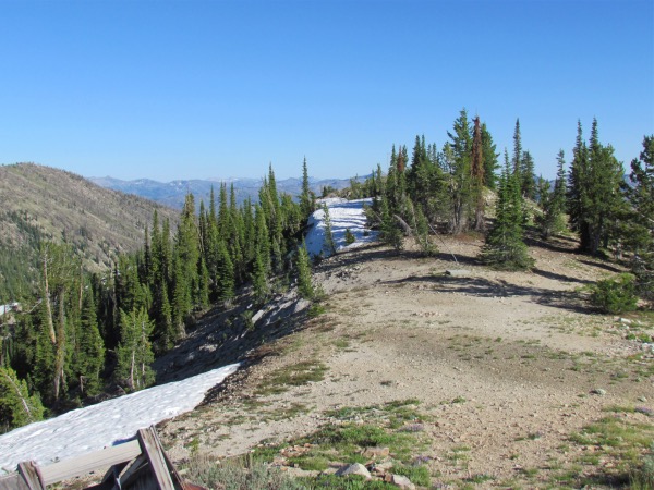 The next three pictures are looking out to the east and north of the lookout |
 |
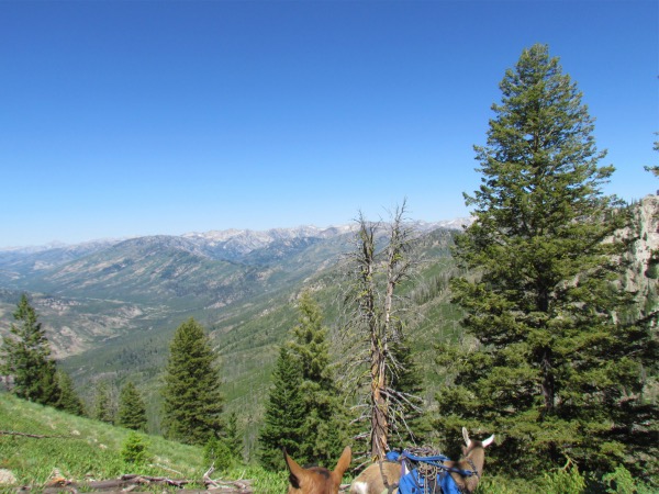
 Looking basically northeast. Warrior and Lodgepole lakes sit directly in the center of this picture. Sadly, I never got to see them on this trip. |
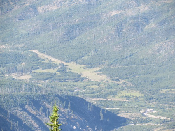 This is a telephoto of Graham Airstrip on the north fork of the Boise River. During my flying days, it was one of my favorite destinations, particularly due to its isolation and difficulty of access if you weren't privledged to have wings... as I did! |
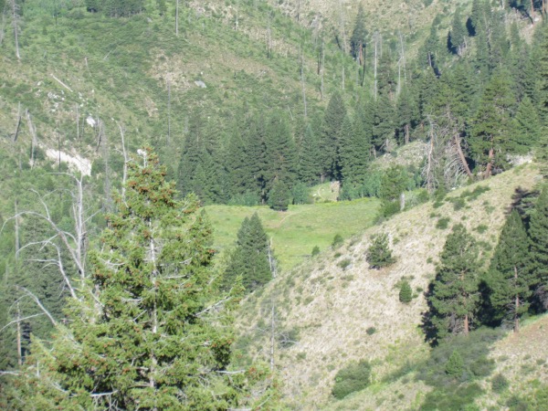 Coming back out following day. Right in the middle of this photo can be faintly seen the trail that will be followed on the way down. Suffice to say that from this point it will be a considerable time, and the broken bridge to cross to arrive at that meadow. |
 Mountains to the south, the bottom end of the Sawtooths I believe. From what I could see from the lookout, that white sky is smoke, not clouds. There was a pretty good indication of a fire to the south. |