Kane Lake
Another grand hike in Idaho! Kane Lake lies in the Pioneer Mountains due east of Ketchum, Idaho. You must first cross over the front of this range
on Trail Creek Pass, and then about 20mi from Ketchum, the roads begin to penetrate the interior leading to pristine locations such as this.
In truth, you really gotta have the 'want to' to access this beautiful area. After turning off Copper Basin Loop Road, it is necessary to navigate several miles of very ugly
road, which sometimes reduces your forward progress to walking speed. Needless to say, the poor goats are being thrown around in the back of the truck like popcorn in a
corn popper. I had originally planned on overnighting at the TH, but in a brief, but meaningful,
moment of an intense lack of contact with reality, I thought, "I can do this if
I just keep my speed up." Which indicates that I had no bloody idea what I was facing, which was one of the most brutal trails I have navigated, and that I was condemning
the poor goats to the same punishment that I was later to endure. As I got going on this trail, in the first and more navigable part of it, I remember stupidly thinking, "I GOT THIS!"
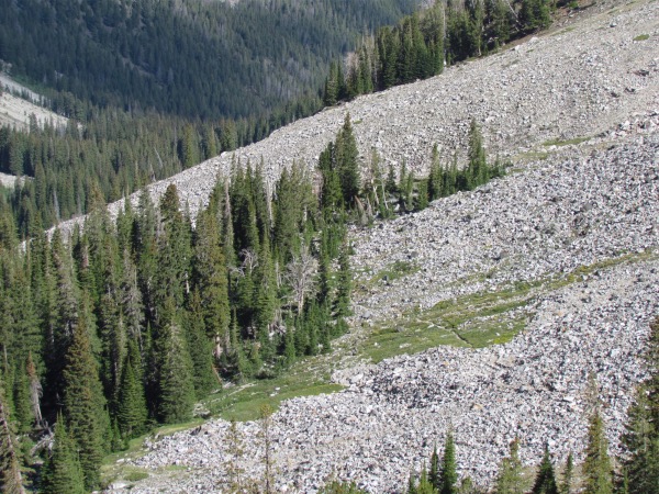
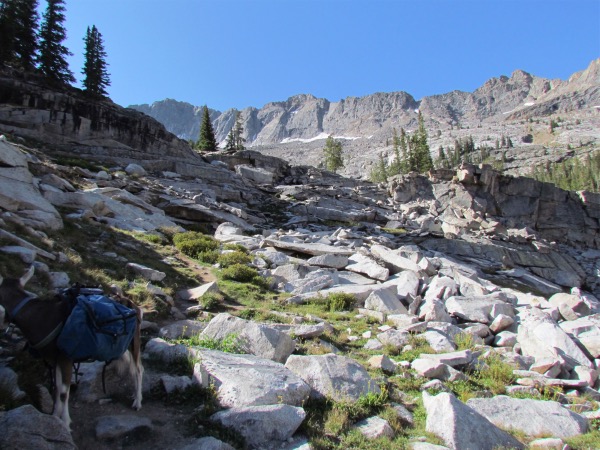
I would pay dearly for that judgment lapse later on. As can be seen from the pictures below, the going got tough, and by then, my reserve of 'tough' was down to practically
nothing.
And to exacerbate the knowledge that I was running out of light about as fast as I was running out of 'tough', it kept looking like, 'It's just ahead', then when you
reached 'ahead', there was a lot more 'ahead' to navigate. At the very last, as you will also see, you were having to navigate granite shelves, and I was reduced to wondering
'am I really going to make this'?Obviously I did, but right at the point where 'dark' was firmly entrenched, and there was little to do except hang the food, put up the tent,
and take residence. Dinner was clearly off the itinerary for this day.
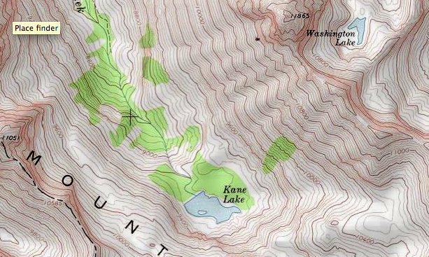
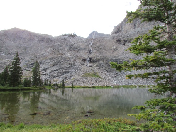
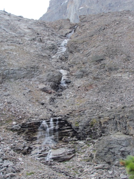
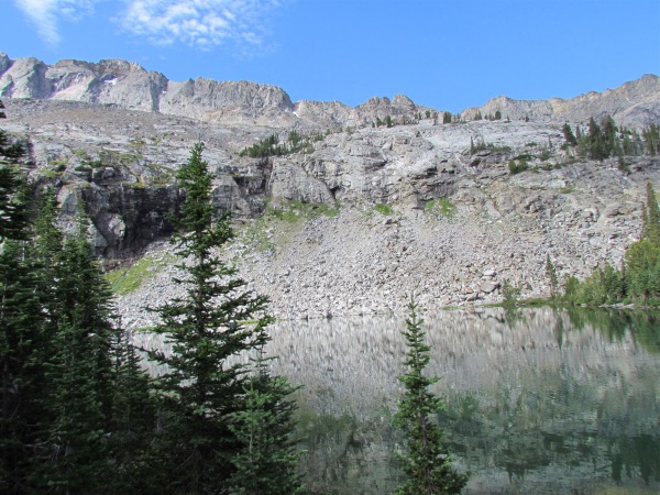
 The tallest of all the waterfalls coming down the granite in this cirque |
 Took a long time for the sun to reach the interior of this area |
|---|---|
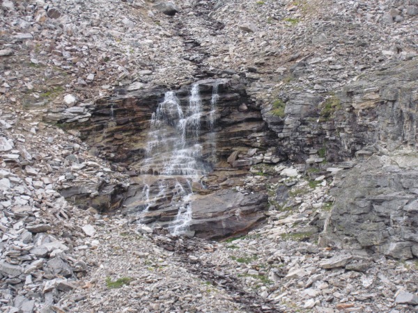 This is the bottom falls of the waterfall above |
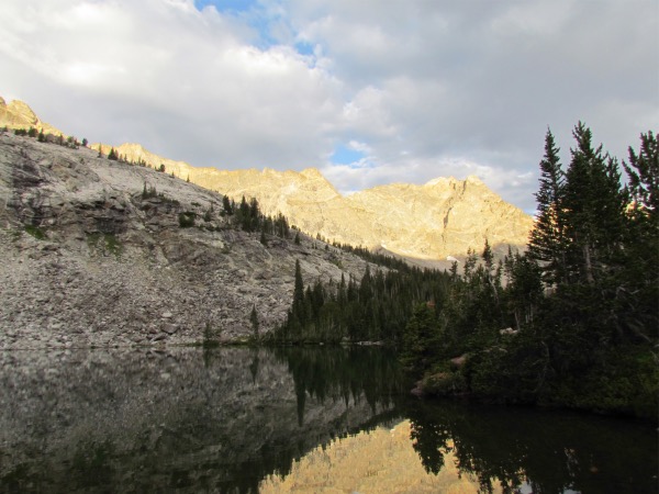 A brief moment of early morning alpenglow. It is necessary to note that the weather this morning was sub-optimal, and getting pictures with 'sun' was a real challenge. And pictures without 'sun' are also without the sun's contribution to their color. |
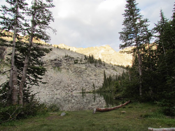 A good portion of where we camped. Too close to the lake by the land manager's standards, but arriving just as it got really dark considerably limits your ability to scrounge around and find an ideal campsite
 |
 |
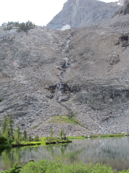
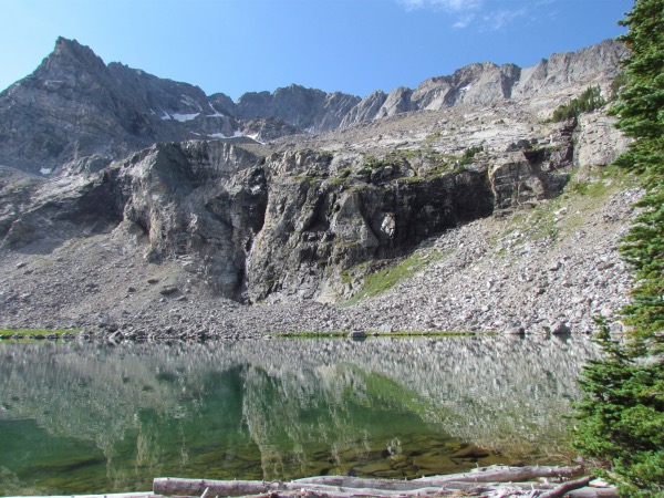
 Looking towards the east end of the lake and waterfall |
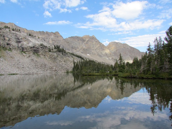 One of the few pictures I was able to get with blue sky. The clouds were coming and going with great rapidity |
 A closer look at the east end waterfall |
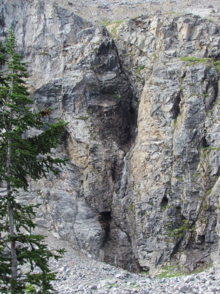 Another waterfall that comes down this crack in the granite |
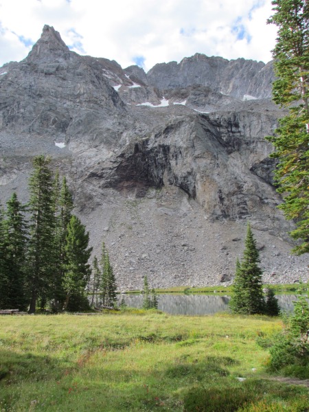
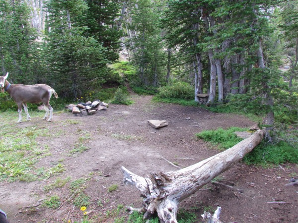 One of the other campsites on this lake |
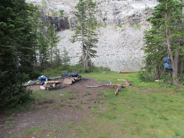 A wider view of our campsite |
 |
 |
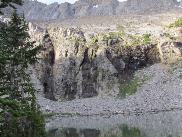
 Quite a yawning abyss, eh? |
 Pictures aren't real great at showing 'depth', but this one gives some idea of the drop from this point near the lake |
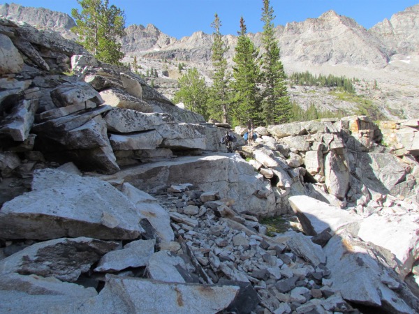 Remembering that navigating this occurred right at the end of the hike, in minimal light, and with less than minimal energy left |
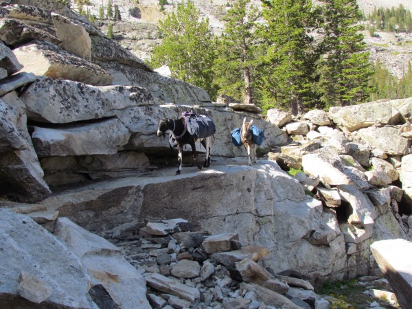 The 'boys' are thinking, 'How do we get out of this chicken outfit!' |
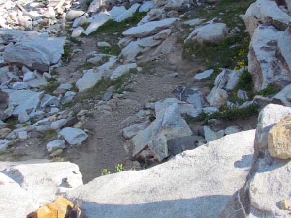 Once again, this doesn't show the depth well, but the 'way down' is at the right of the picture and involves clamering down a series of rock steps. Thank goodness I have goats, not horses. |
 Looking back from further down this obstacle course |
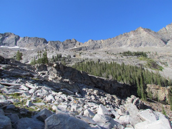 |
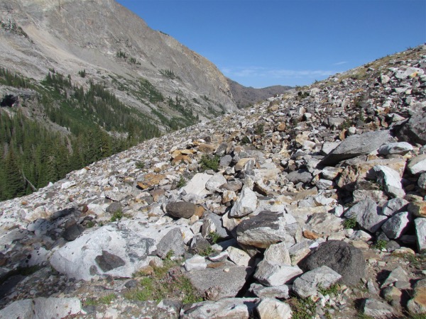 Speaking of obstacle courses. This is as hard as 'walking' gets |
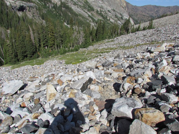 Note how far down it is until you return to real trail |
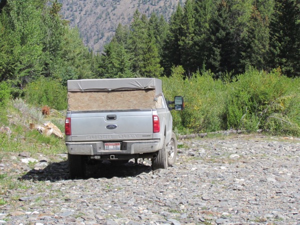 This picture shows what constitutes the 'parking area', and a bit like what the road out is like |