Catwalk, Glenwood, NM
All the rest of the pictures in on this page are of the rebuilt Catwalk after the 2013 flood destroyed the original. The picture right below is what was left of the original.
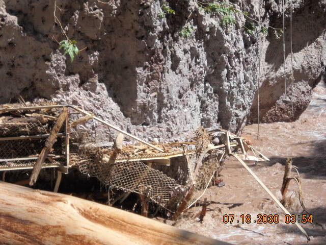
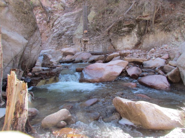
Imagine how much water was flowing down here considering how high the level of the flow must have been with all the debris left on the left of the old Catwalk.
That is many feet above the normal river level.
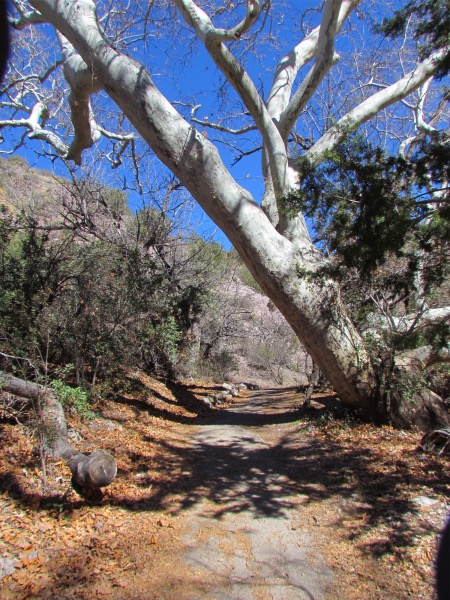 The beginning of the Catwalk trail on a beautiful spring day |
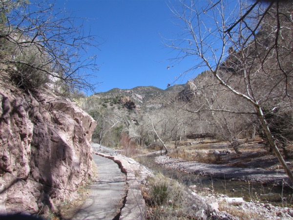
 The trail descends down these steps to connect with the east side access to the catwalk |
|---|---|
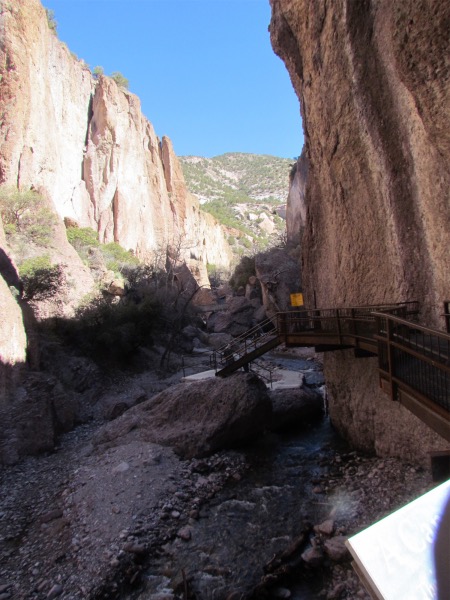
 The trail splits up where you can see the long brown bridge, and while both trails, one on each side of the river, get to the same place, there is more steep climing on the west side of the river, while the trail on the east side does it gradual. |
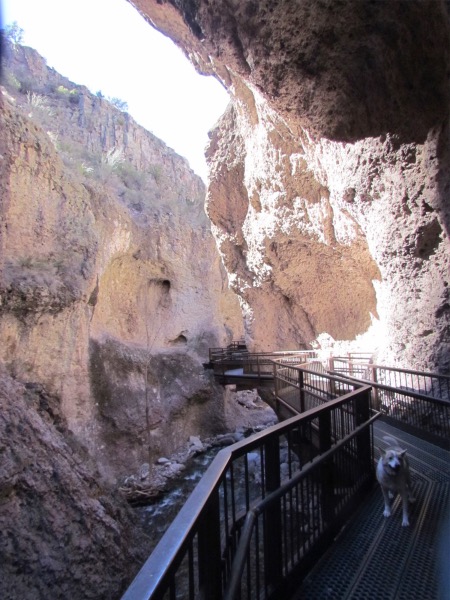
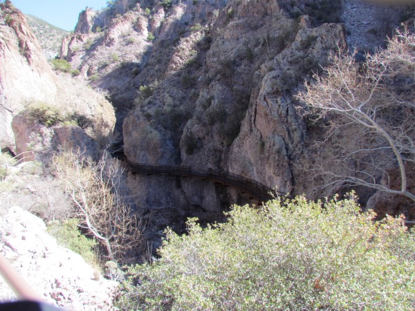 Little hard to see in this picture, but that is the Catwalk snaking down the other side. |
|
 In the center of the picture the Catwalk descends down to the river level, crosses the river, then climbs on the west side to the bridge you can see in the picture lower left. |
 |
 |
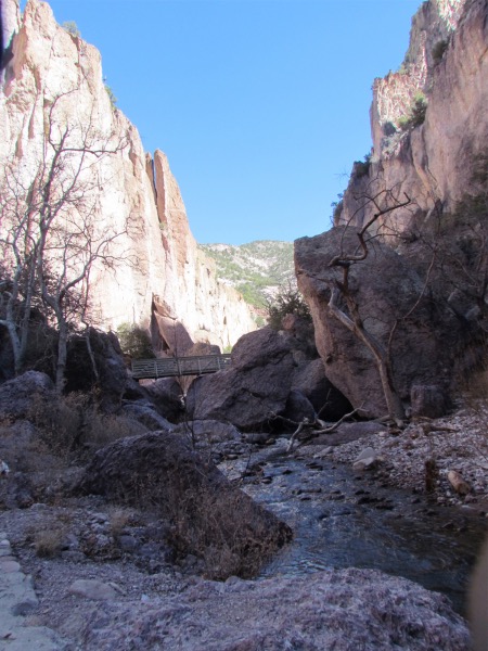
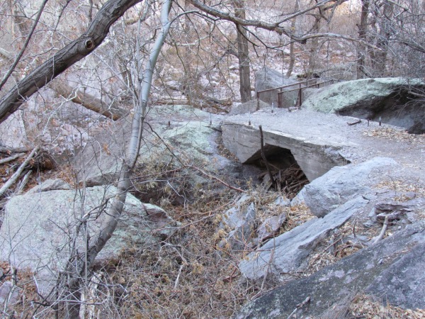
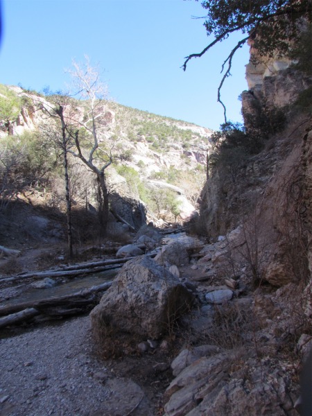 End of the reconstructed portion of the Catwalk. And where, if you want to continue up the trail on the west side, you have to cross the river on a collection of logs |
 The trail continuation was quite good, although paint-scratch thin at times |
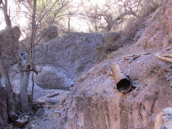 The old pipeline is still visible in places |
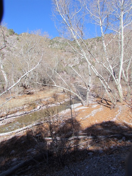
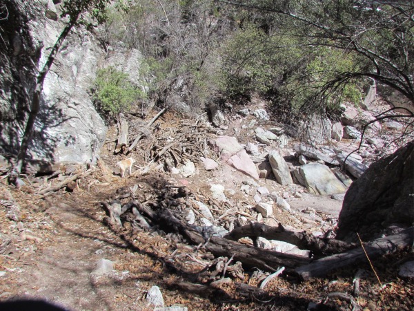 The detritus left by the 2013 flood, brought on by the 9-day total rainfall of 10.1 inches |
 |
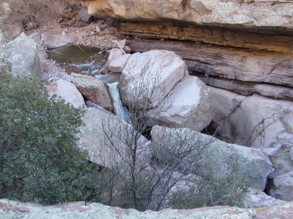
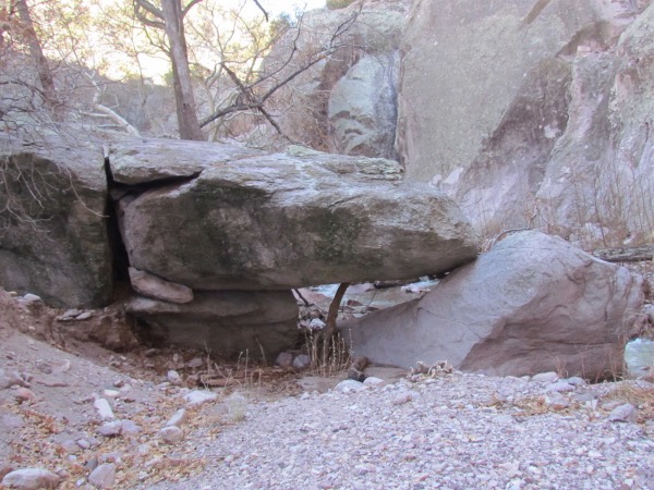 This picture does not do this justice. You could nearly walk standing up under this rock |
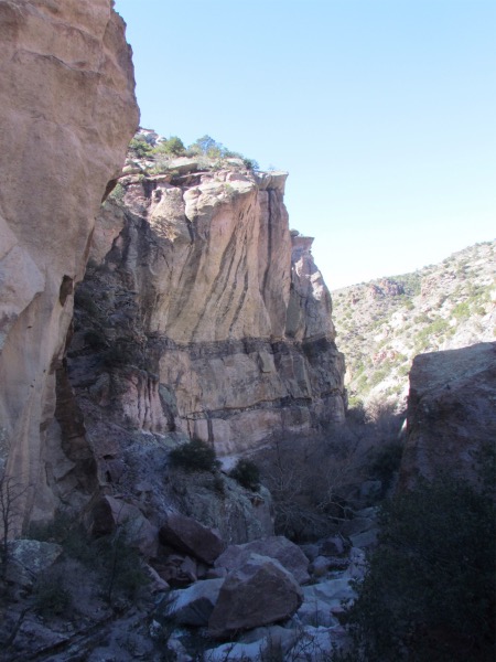
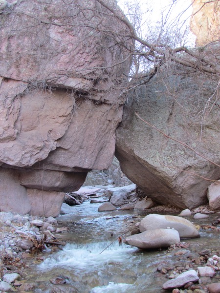 These rocks appear to be fighting for 'dominance'. They are 40+ feet tall |
 Sometimes while ascending up this drainage, the walls tower over you while you are thinking, 'I hope they are not in danger of falling'! |
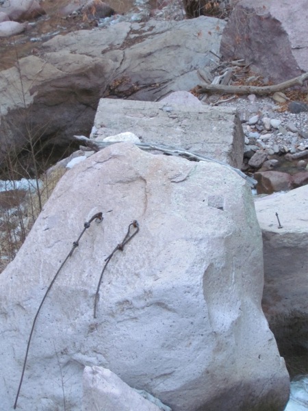
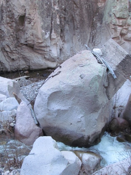 These cables date back to the pipeline and were to hold it in place. This rock was one of the pipeline supports and clearly was standing straight up instead of lurching drunkenly to one side as here |
 |
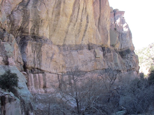 These strata lines are an indication of the different periods of their formation. The darker lines give the appearance of river-formed strata |
 |
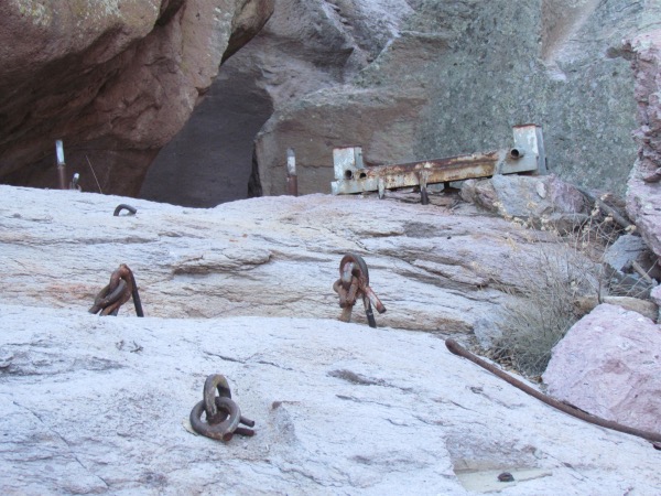 More of the pipeline supports |
 This also was pipeline support and is now part of the trail |
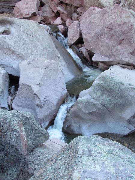
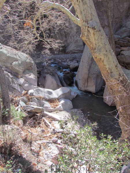
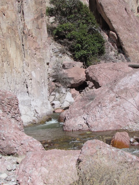
 Looking downstream |
 |
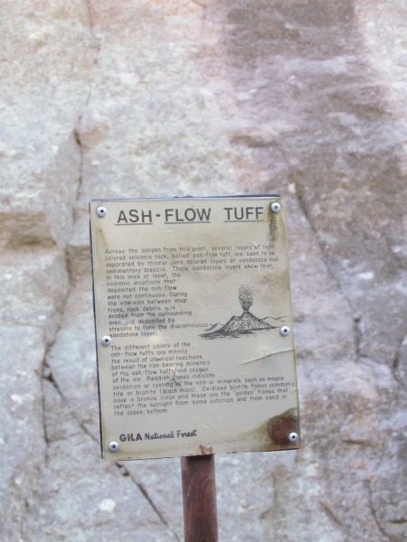 FYI |
 Same drunken rock from a different angle |
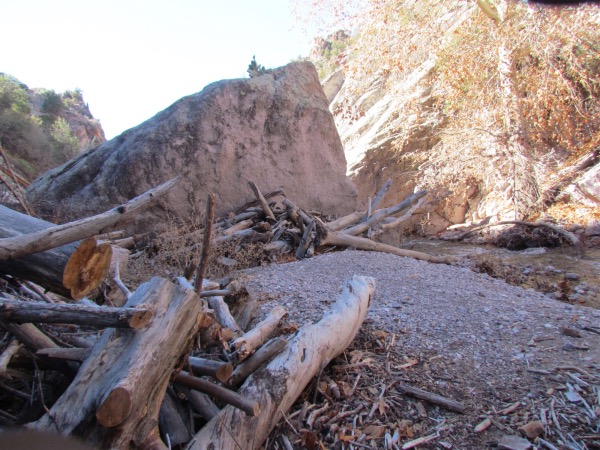 Another collection of flood debris |
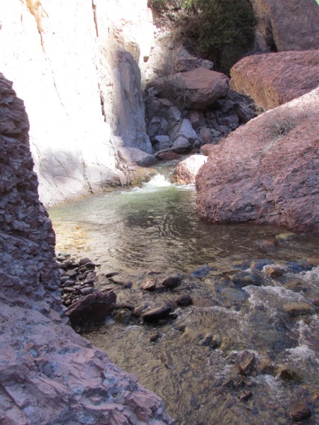
 Whitewater Creek at a calmer time. Flood level reached 19.1 feet |
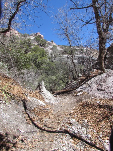
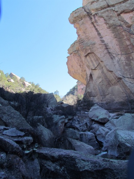
 Near the beginning of the Catwalk Trail |
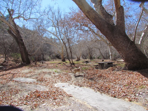 The Whitewater Picnic Ground. Beautiful in the afternoon sun |