Hiking the CDT from Lordsburg to...
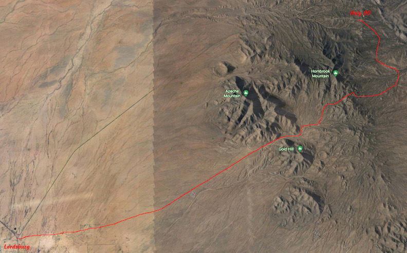 The approximate hiking route. Doesn't look like much until you are trudging along at ground level |
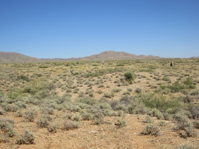
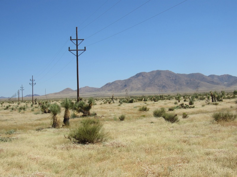
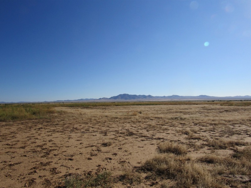 Here's what it looked like at the beginning. Acres, & acres, & acres of nothing much, except sand. |
|---|---|
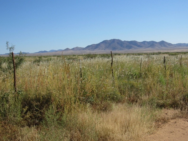 The monsoon rain we had in July caused all this growth. Good for hiding mean critters like the rattlesnake I saw |
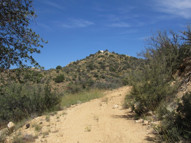
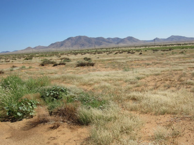 It is not immediately clear, but the mountains are getting closer... maybe another 2 weeks? |
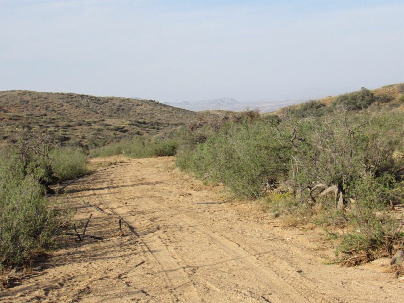
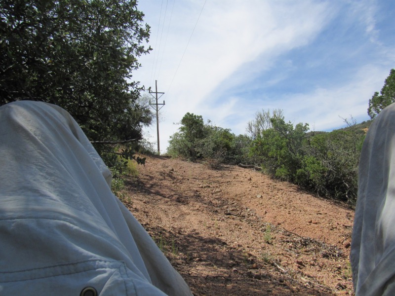
 This is what constitutes a desert road. This one began as an installation road for a gas line. |
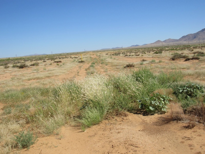
 Still closer yet. And that bloody fence I gotta cross is getting closer as well. |
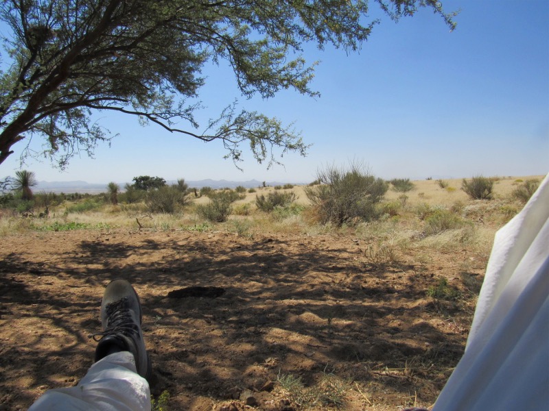 My first real break. Probably at the 7 or 8 mile point. As the day wore on, there were more and more of these. |
|
 There was a faint trail here, but it was NOT the norm. Usually you had to spot the CDT markers before moving |
 This is a drainage, which also doubles as a road (All following pictures are from the second day) |
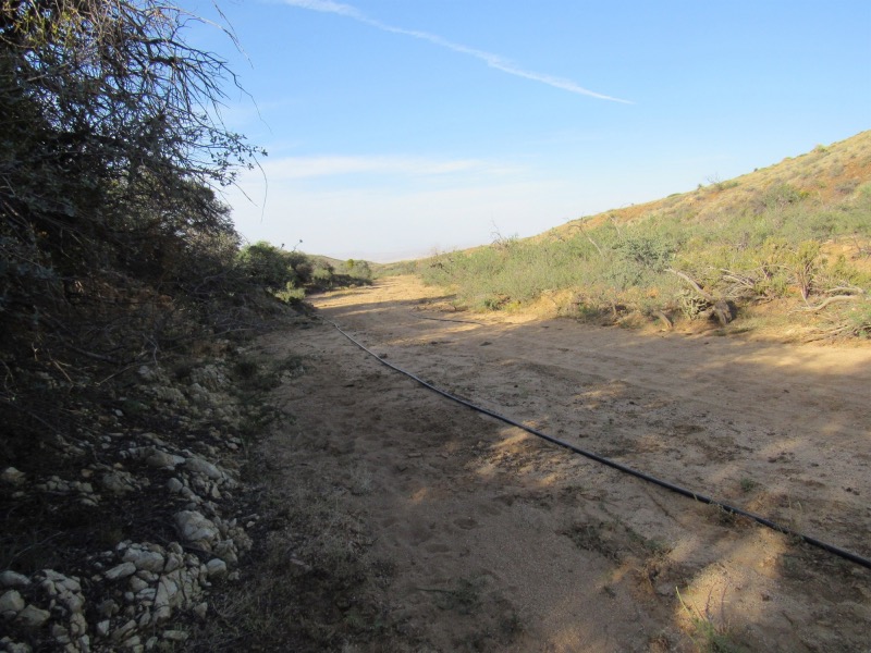 This two or three inch ABS pipe went for a long ways down this drainage. I think it served the water source I mentioned in the narrative |
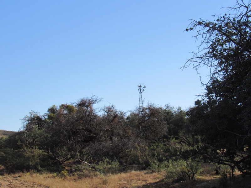 Almost none of the original windmill pumps are operational. I think they be using electric pumps |
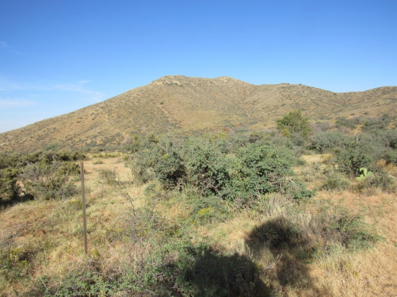 Fire danger may be moderate in Glenwood, but it doesn't look moderate here |
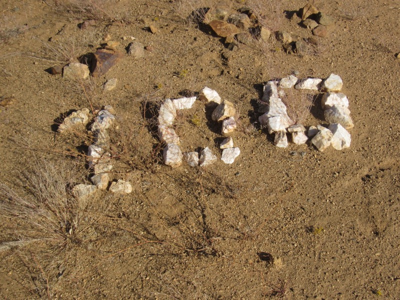
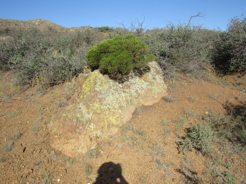 I loved the lichen works on this rock, but I hate it when I get my shadow in the bloody picture |
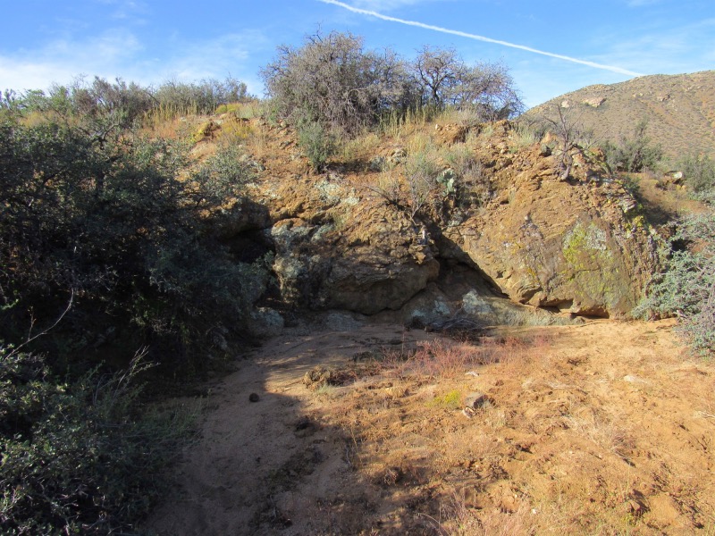 More rockwork |
|
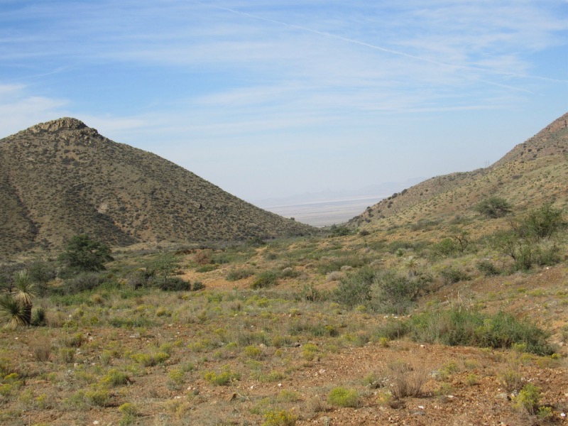 Looking back down the drainage towards Lordsburg. I started from the other side of this desert area |
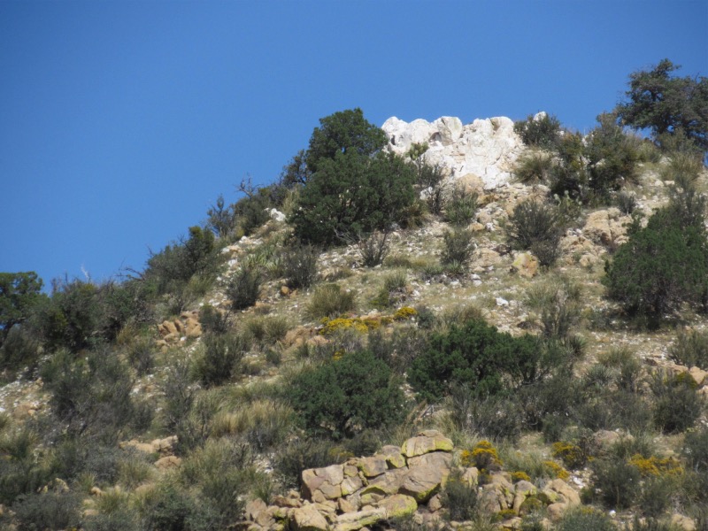
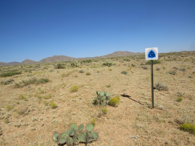
 Not sure what this white rock is, but it is all over |
|
 This is a picture of the intrepid hiker taking just one more rest break. There were many before I go to the road |