Continued CDT* hikes, this time between Silver City, NM, & Sheep Canyon Rd
*Continental Divide (National Scenic) Trail
This hike, similar to the previous hikes in this very dry and frequently unfriendly territory, has what I can't help but describe as crappy footing (sometimes worse than that!).
It is necessary to explain at this point also that the CDT has a gap in it northwest of Silver City. This route picked up where it begins again, just north of Silver City, and followed the Official CDT to a point maybe 5-6 miles in, then separated into the Official CDT, and the CDT Gila River Alternate.
I chose to take the Alternate route, which meant continuing back west road (dirt) walking for quite a distance, then a whole potful of uphill on horrid footing, then finally down (forever it seemed) to a small stream where camping was the order of the day since water, time and sun were all waning.
When hiking in this part of the country, water becomes a defining issue as there is so bloody little of it. You have to decide
how much to carry based on the next place available to get more. Fortunately there is a smartphone App called Guthook (now Farout) that has a map-like description of the route, with icons where water and other significant things are to be found. It works with the phone in Airplane mode, and shows a little blue dot where you are so that you not only can see where to get the next water, but also where you are in relation to the trail.
A very handy device at times when the trail waves goodbye in areas of recent fire activity.
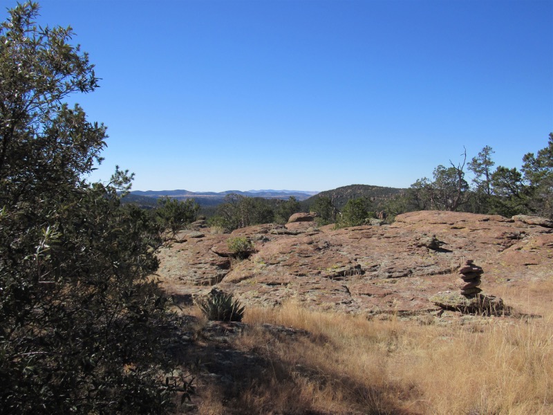
Second day had another healthy dose of 'up' and ended up in a location with a whole bunch of flat rock, and some very good camping.
Third day took me up a mountain through a 2020 burn and where the trail was a navigator's nightmare. It was hot this day and after a very long and extended trip up to the top of a mountain, a long trip across the face of another mountain, there was then a climb of 300-500 feet to a pass over into the next drainage.
At this point, the trail went down forever, or so it seemed. At the point where it intersected the Sheep Canyon Rd., I came upon a hunter, and I wimped out and asked for a ride
out. He was willing, so I skipped out on the 1 more day I had left to complete this section. It doesn't help that the nights are so bloody long, and it is too cold to stay out
of the tent/sleeping bag after sundown. It would be much easier if you had more normal sleeping hours.
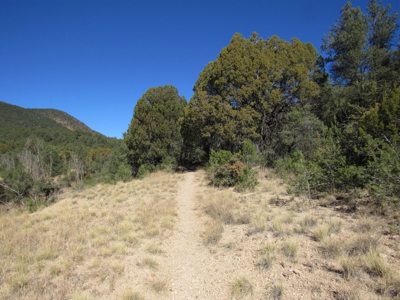
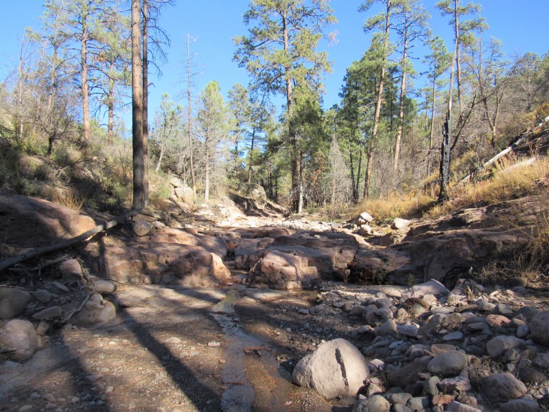
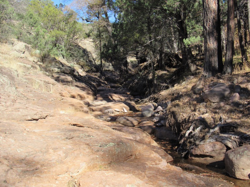
Looks pretty good here, but this is the best footing of the entire trip.
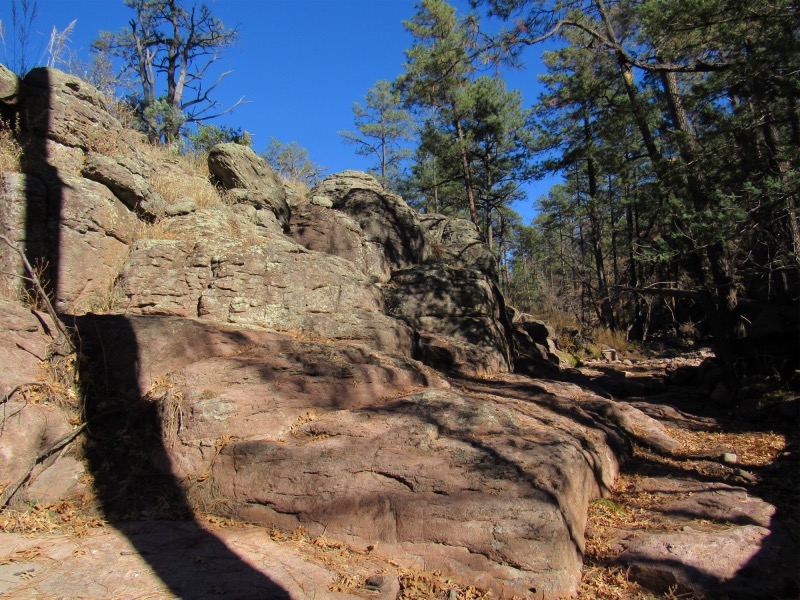
Dang! I got my shadow into the picture again. I hate it when I do that!
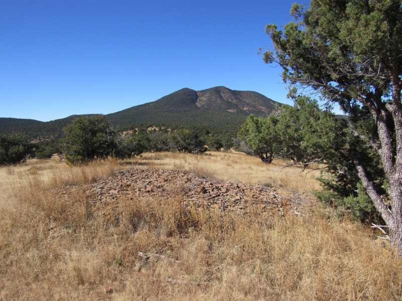
Interesting... this little pile of shale here and in evidence nowhere else in this area.
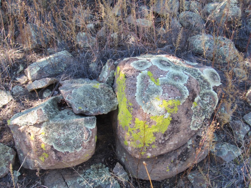
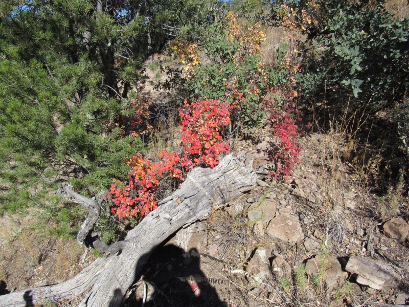
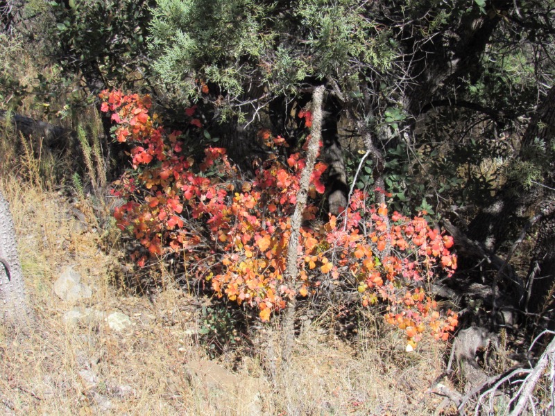
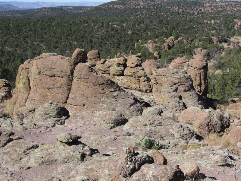
I love rocks, especially those decorated with the Lord's handiwork
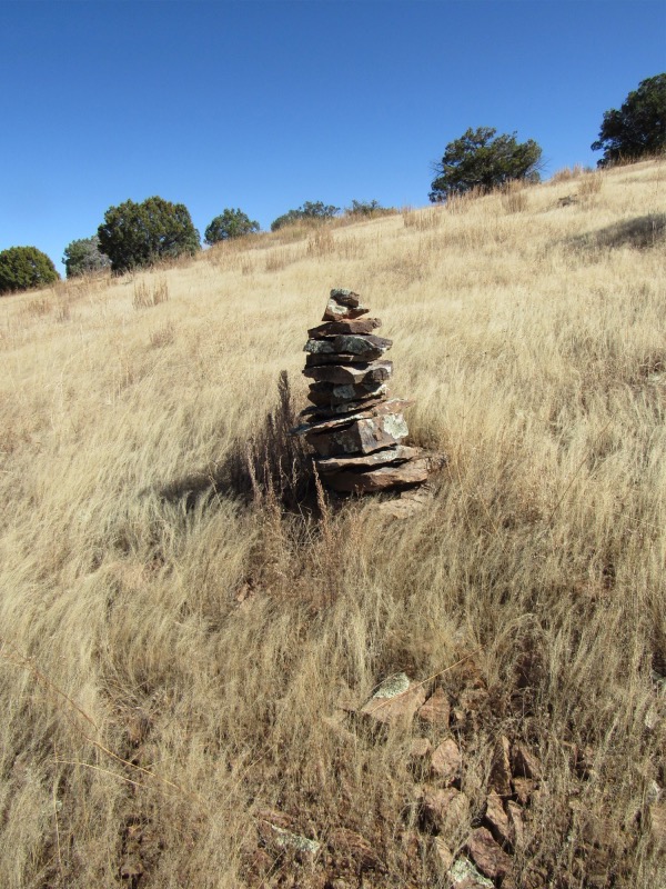
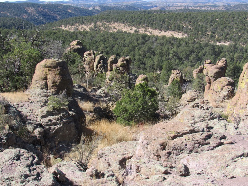
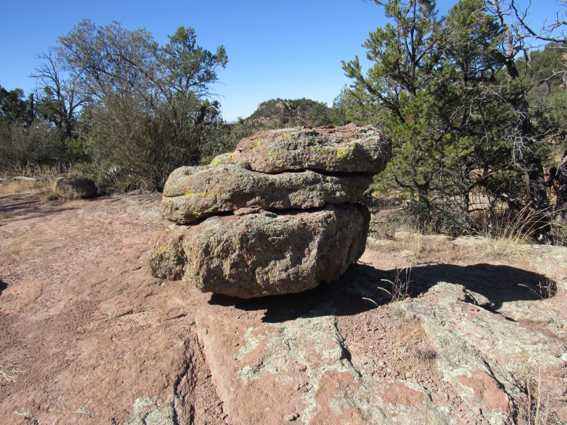
The cairns on these trails have no predetermined shape or order. Possibly as there is so many rocks for construction
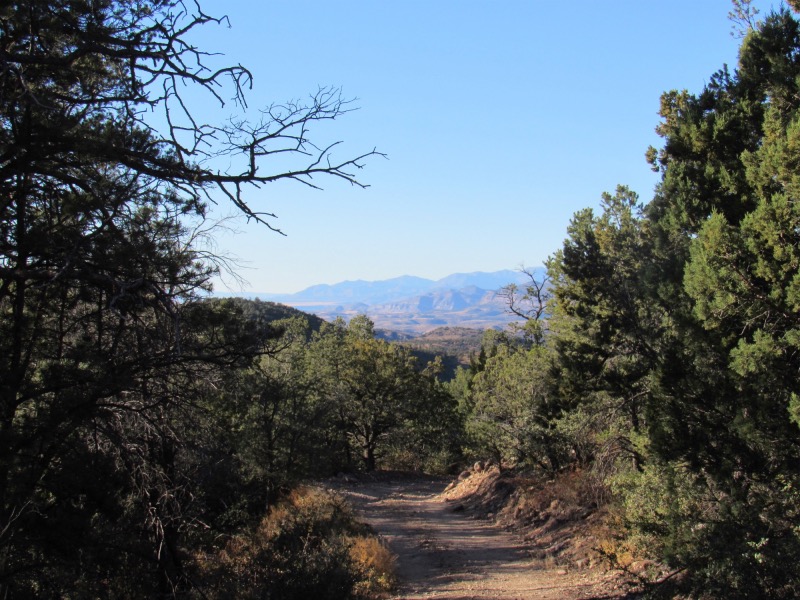
The time is passing, and the sun is lowering and I have a long ways yet to travel
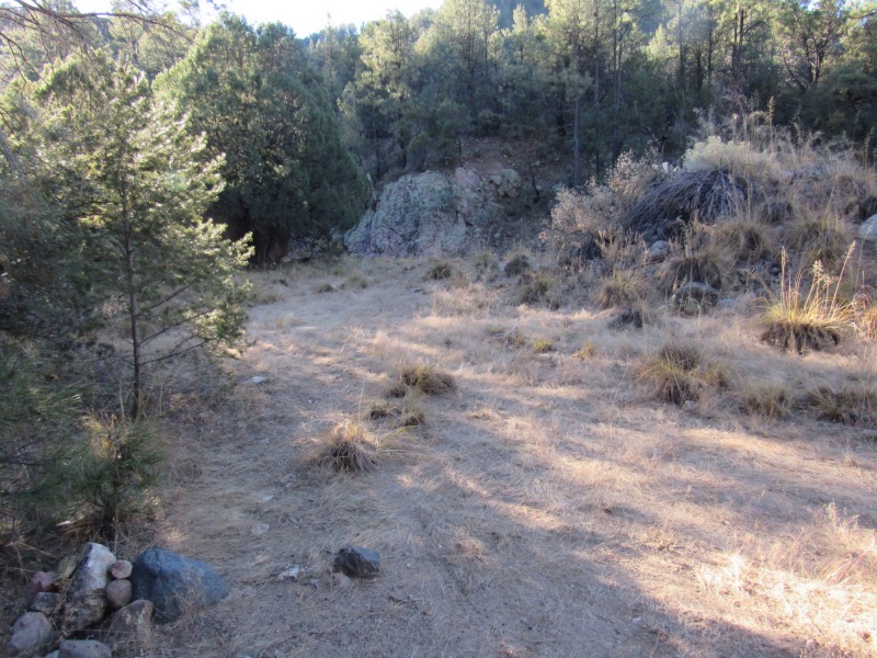
The glorious campsite. Actually better than it looks here, and a river that runs along that granite face in the background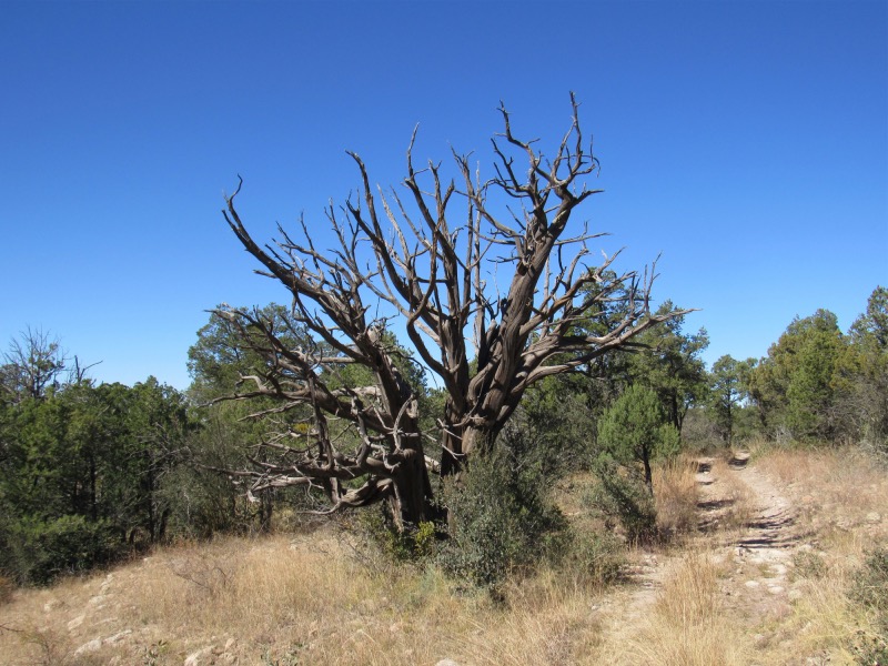
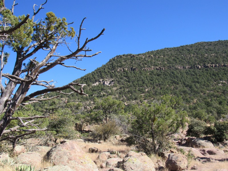
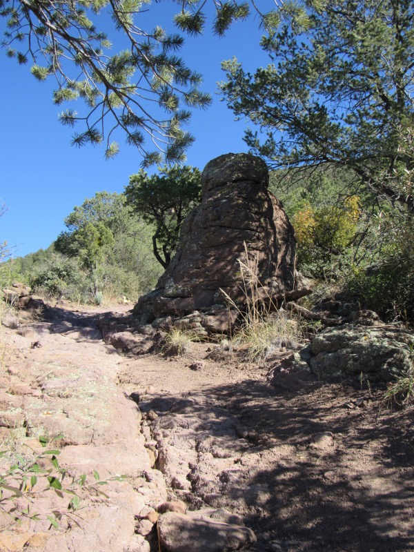
What I usually refer to as an 'old soldier' that has laid down his weapon, and retired to the land of over-the-hill fighters
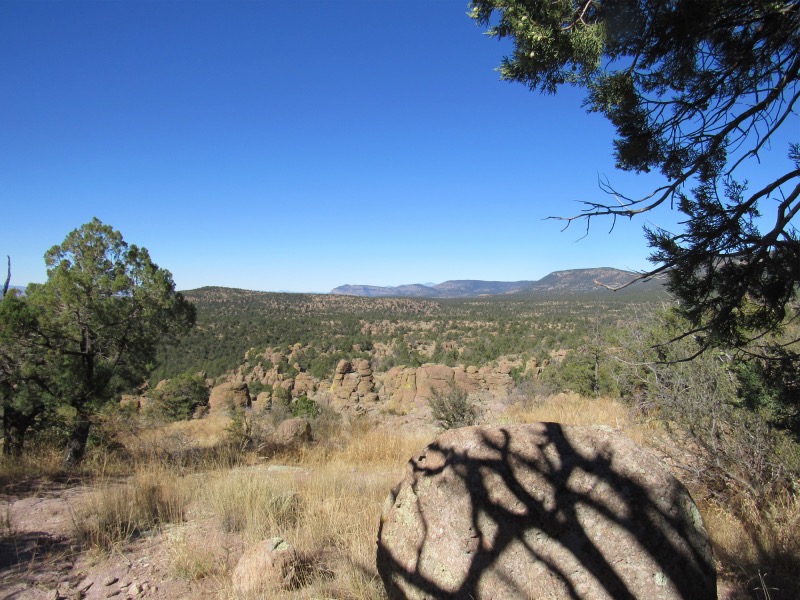
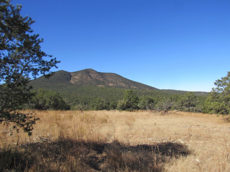
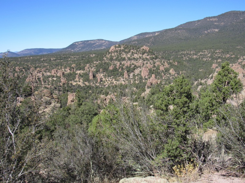
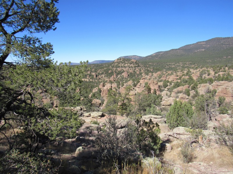
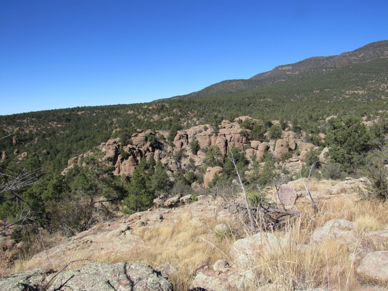
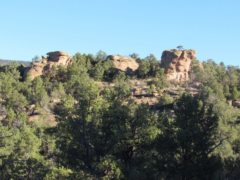
At this point, I will be transiting a large area of very interesting geology
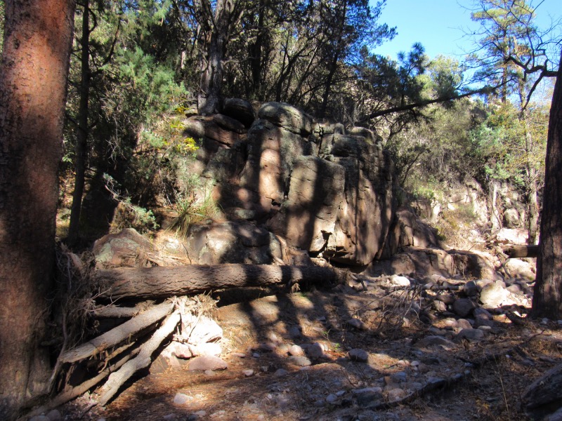
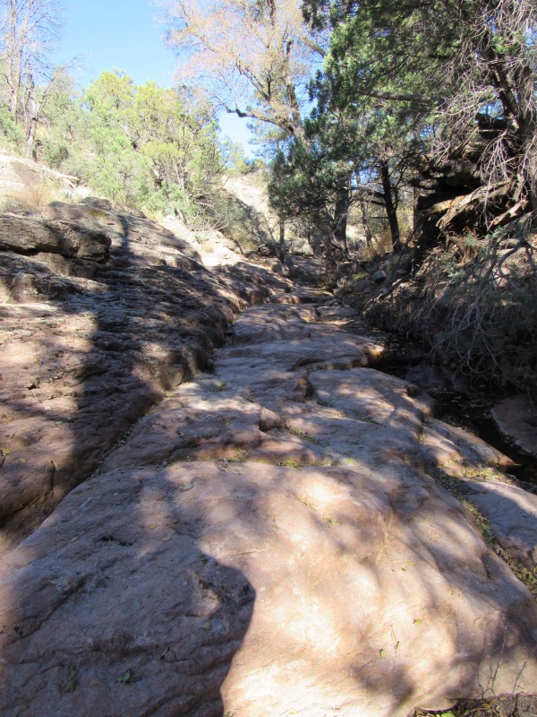
Next morning begins here with a long venture up what I believe is Sycamore Canyon. A long frequently granite drainage that extends well into the mountain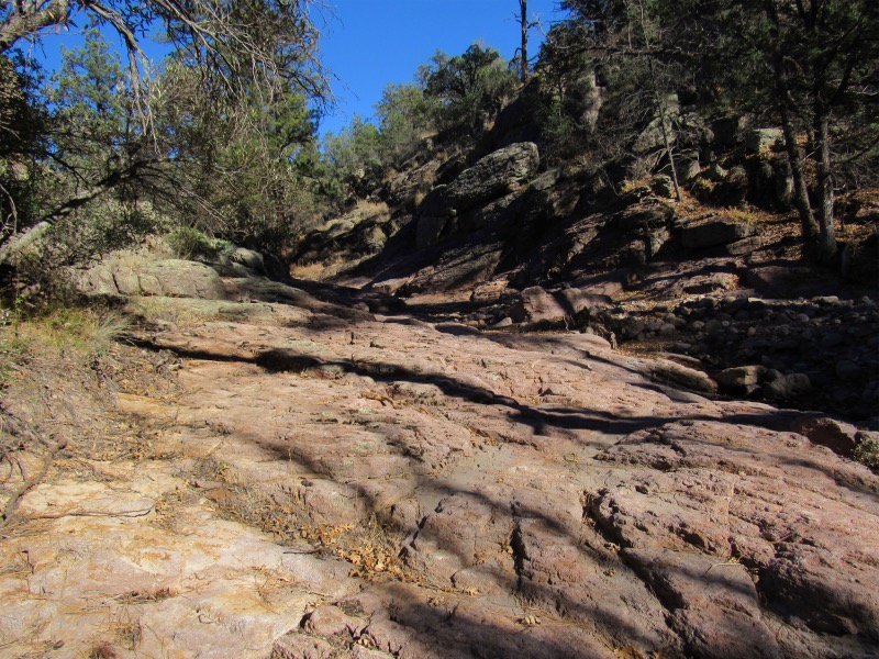
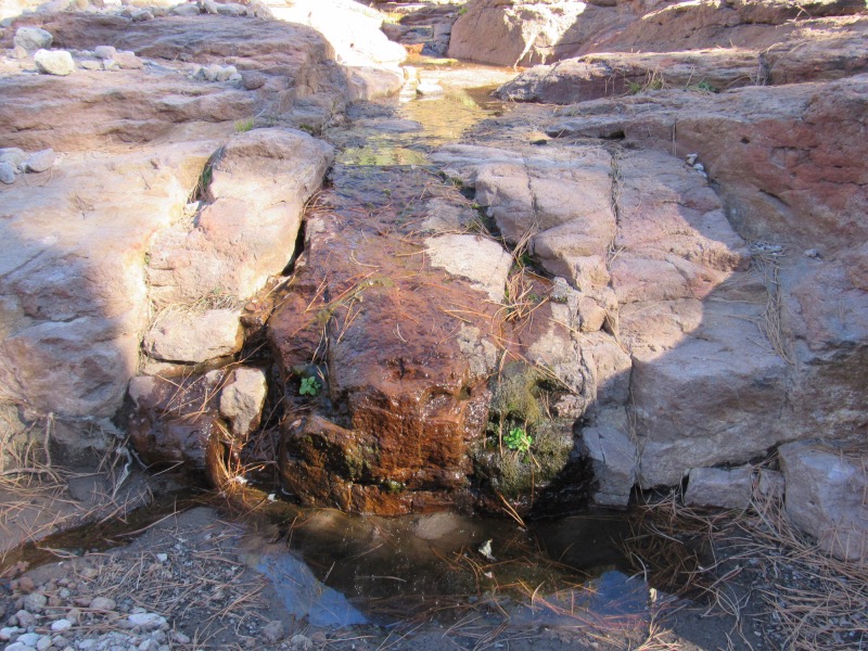
The drainage, as many do in this are, had water, then no water, then some water, then no water...
Finally leaving Sycamore Canyon the route went up to the top of the mountain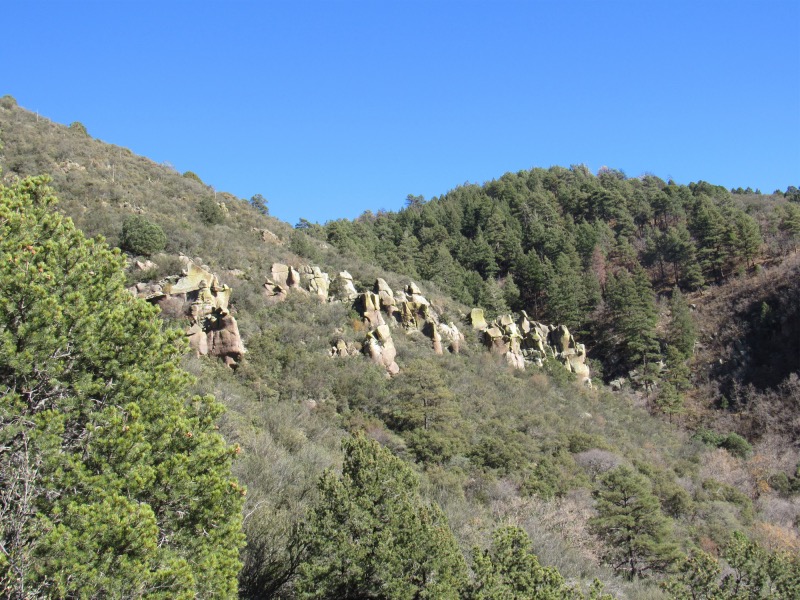
This hike, similar to the previous hikes in this very dry and frequently unfriendly territory, has what I can't help but describe as crappy footing (sometimes worse than that!).
It is necessary to explain at this point also that the CDT has a gap in it northwest of Silver City. This route picked up where it begins again, just north of Silver City, and followed the Official CDT to a point maybe 5-6 miles in, then separated into the Official CDT, and the CDT Gila River Alternate.
I chose to take the Alternate route, which meant continuing back west road (dirt) walking for quite a distance, then a whole potful of uphill on horrid footing, then finally down (forever it seemed) to a small stream where camping was the order of the day since water, time and sun were all waning.
When hiking in this part of the country, water becomes a defining issue as there is so bloody little of it. You have to decide
how much to carry based on the next place available to get more. Fortunately there is a smartphone App called Guthook (now Farout) that has a map-like description of the route, with icons where water and other significant things are to be found. It works with the phone in Airplane mode, and shows a little blue dot where you are so that you not only can see where to get the next water, but also where you are in relation to the trail.
A very handy device at times when the trail waves goodbye in areas of recent fire activity.
Second day had another healthy dose of 'up' and ended up in a location with a whole bunch of flat rock, and some very good camping.
Third day took me up a mountain through a 2020 burn and where the trail was a navigator's nightmare. It was hot this day and after a very long and extended trip up to the top of a mountain, a long trip across the face of another mountain, there was then a climb of 300-500 feet to a pass over into the next drainage.
At this point, the trail went down forever, or so it seemed. At the point where it intersected the Sheep Canyon Rd., I came upon a hunter, and I wimped out and asked for a ride
out. He was willing, so I skipped out on the 1 more day I had left to complete this section. It doesn't help that the nights are so bloody long, and it is too cold to stay out
of the tent/sleeping bag after sundown. It would be much easier if you had more normal sleeping hours.
Looks pretty good here, but this is the best footing of the entire trip.
Dang! I got my shadow into the picture again. I hate it when I do that!
Interesting... this little pile of shale here and in evidence nowhere else in this area.
I love rocks, especially those decorated with the Lord's handiwork
The cairns on these trails have no predetermined shape or order. Possibly as there is so many rocks for construction
The time is passing, and the sun is lowering and I have a long ways yet to travel
The glorious campsite. Actually better than it looks here, and a river that runs along that granite face in the background
What I usually refer to as an 'old soldier' that has laid down his weapon, and retired to the land of over-the-hill fighters
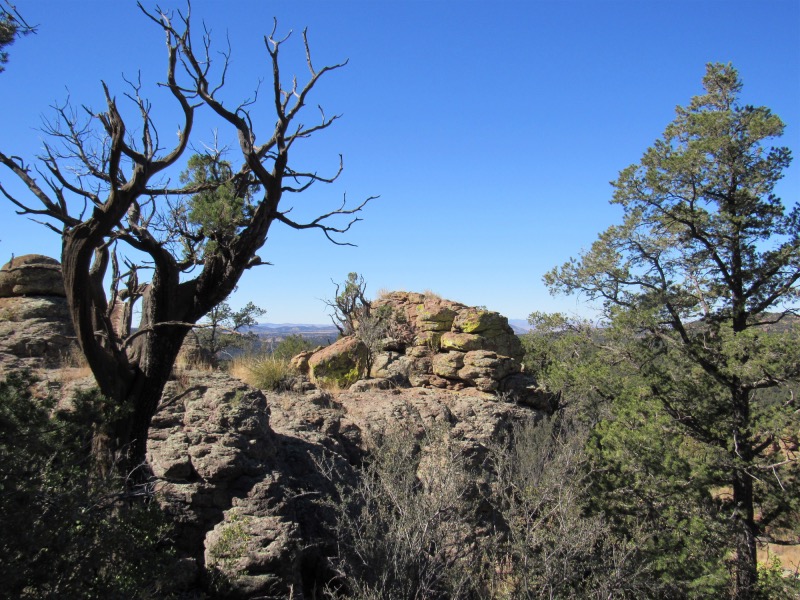
At this point, I will be transiting a large area of very interesting geology
Next morning begins here with a long venture up what I believe is Sycamore Canyon. A long frequently granite drainage that extends well into the mountain
The drainage, as many do in this are, had water, then no water, then some water, then no water...
Finally leaving Sycamore Canyon the route went up to the top of the mountain