A Hike Around the Langer Lakes Basin
Have hiked this one a number of times before, but this time it was a new day as you will see by the pictures
.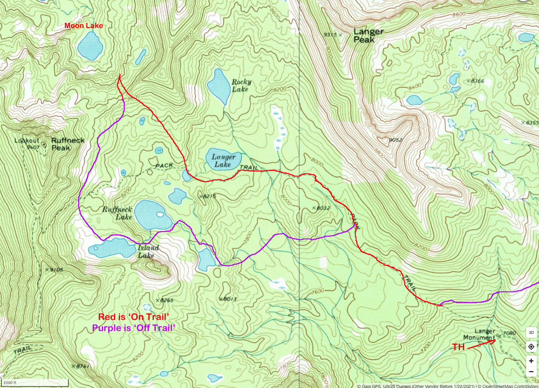
The reason that the hike did not begin at the TH is because there was no parking at the TH and I had to go 1/4 mile further to park and had to bushwhack over to the trail
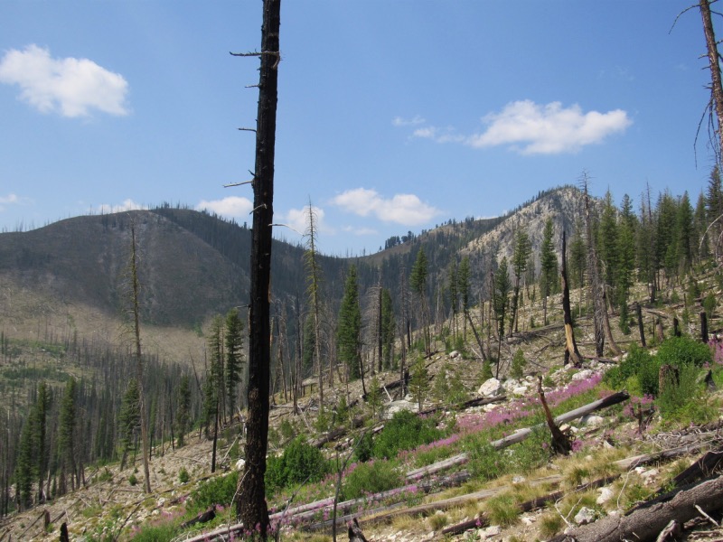
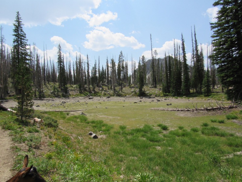
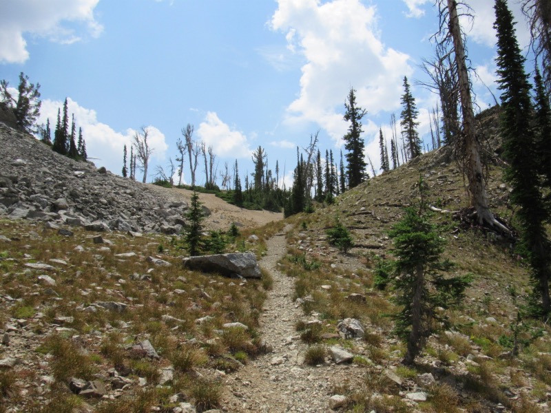
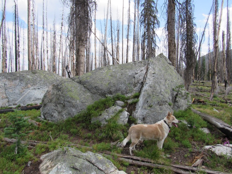
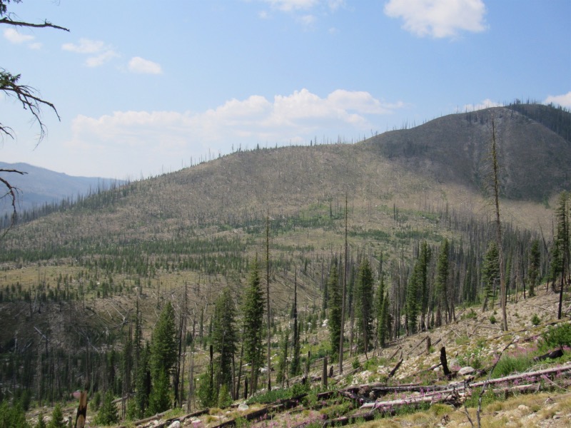 Going up for the first 2+ miles you transit a very old burn |
 |
|---|---|
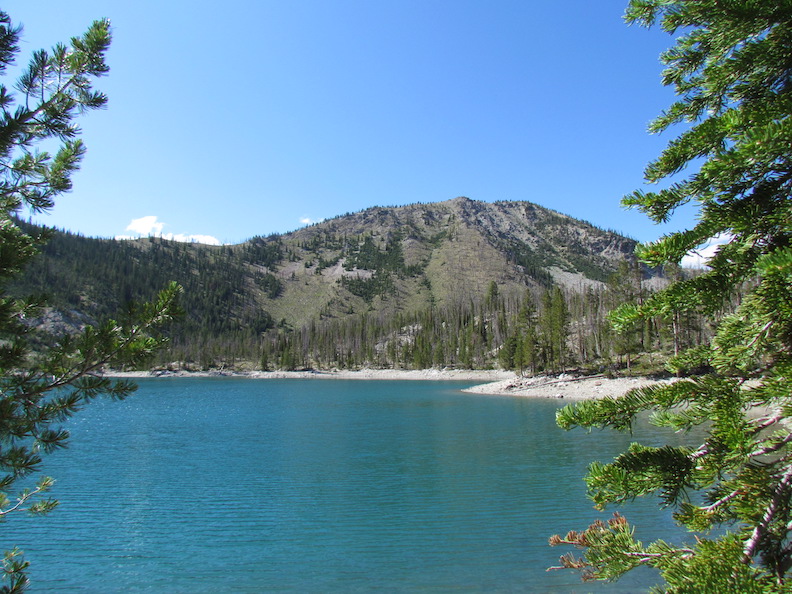
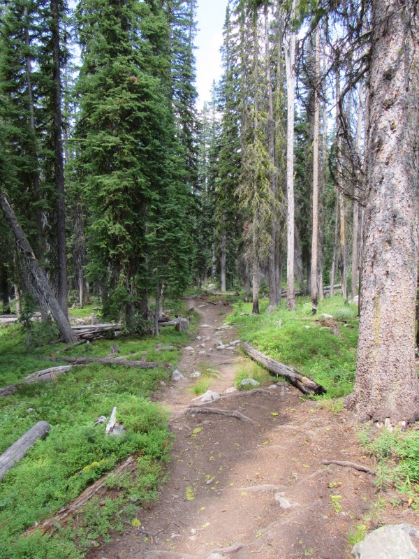 The fairly well-used trail that leads into Langer, the first lake you come to |
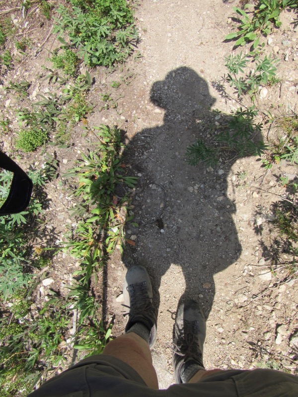 The hiker... no 'selfie-sticks' here |
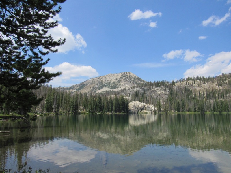 Langer Lake, looking west |
 A small pothole lake, usually before has had at least some water in it |
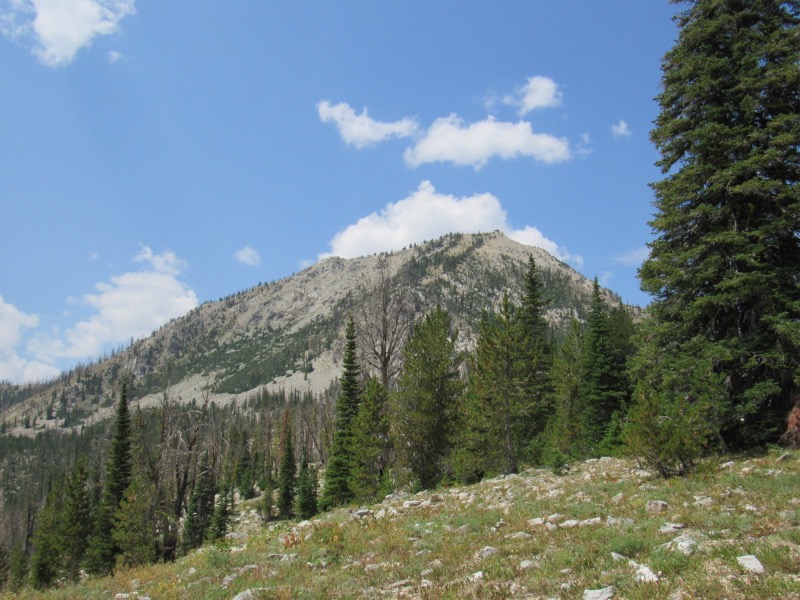 Hiking to the top of the ridge that leads to 'Moon' and Finger Lakes. Ruffnect LO at the top of this mountain |
 The trail that leads to the top of the ridge |
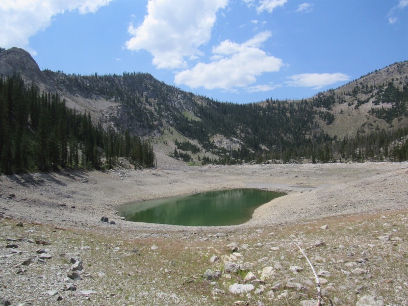
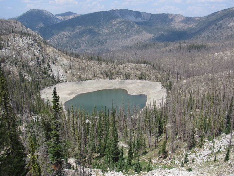 Moon Lake, such as I have never seen it before. Where'd the water go? |
 What it looked like before, and with a primo fishery as well. Now? |
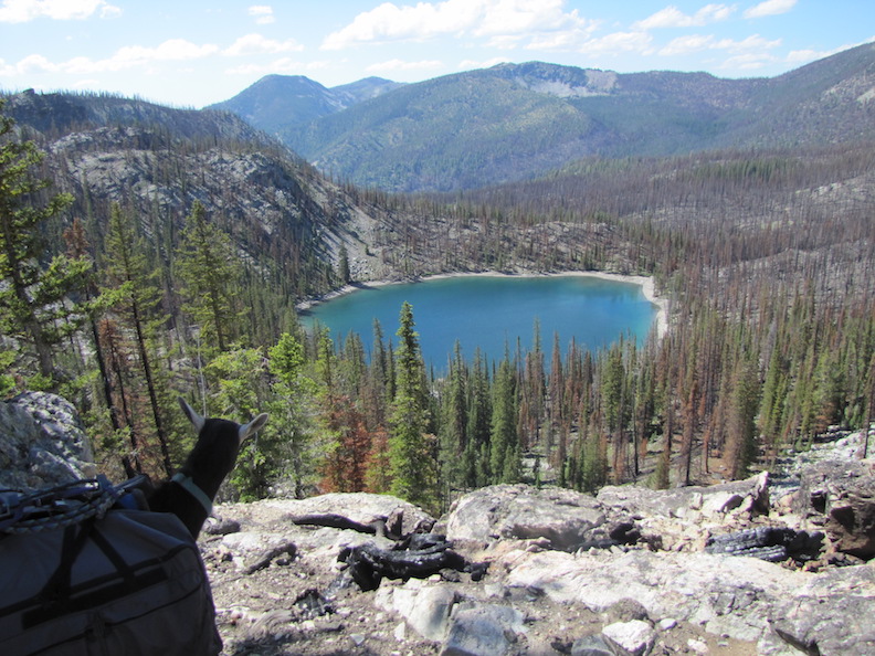
 Island Lake, in Langer Lakes Basin. Where'd the water go? This lake extends clear back and up to the mountains on the horizon |
 This is what it looked like in 2019 |
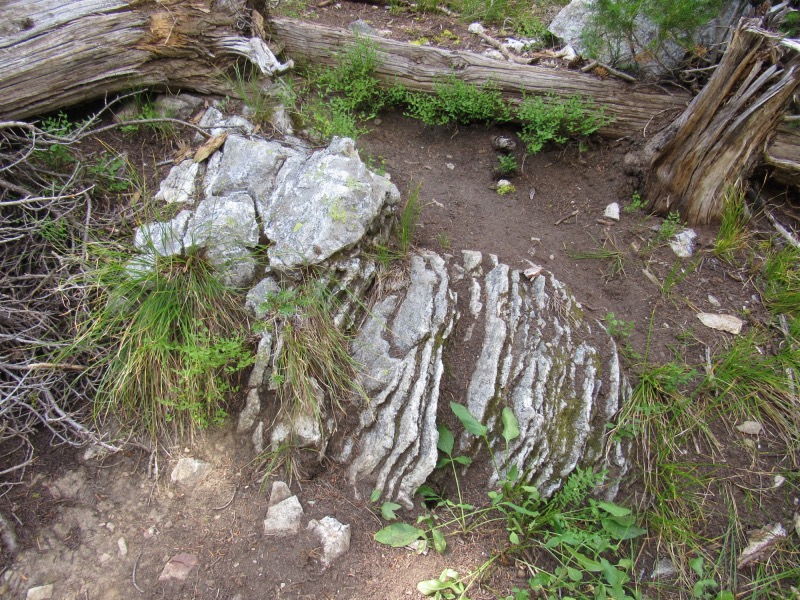 I love rocks |
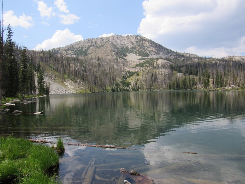 Ruffneck Lake |
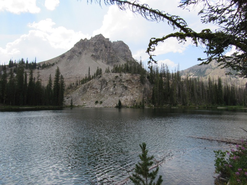 This is a lake that sits right below Ruffneck Lake. I had never seen it before. I have now. :-) |
 The goats would have loved these rocks |